

← Browse Prehistoric Settlements · Browse the directory

Hut circles on Hart Tor
Walkhampton, Yelverton, Devon
Grid ref: SX 5817 7238
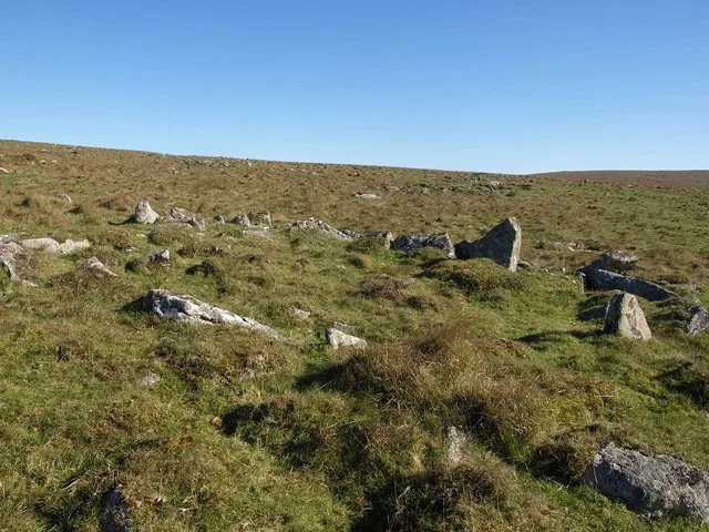
Main image: Hut circle north of Hart Tor - image by Derek Harper (CC BY-SA 2.0), via Wikimedia Commons
- Period: Bronze Age
- Status: Eight scheduled monuments (Historic England entries listed below), plus 19 further hut circle positions from our earlier records
- Huts: Internal diameters from 2.4 m to 7.4 m; walls 1.1 m to 2 m wide and 0.2 m to 0.9 m high
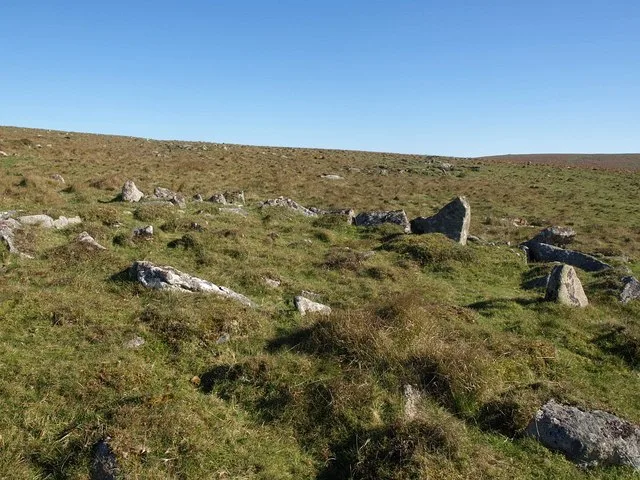
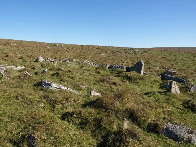
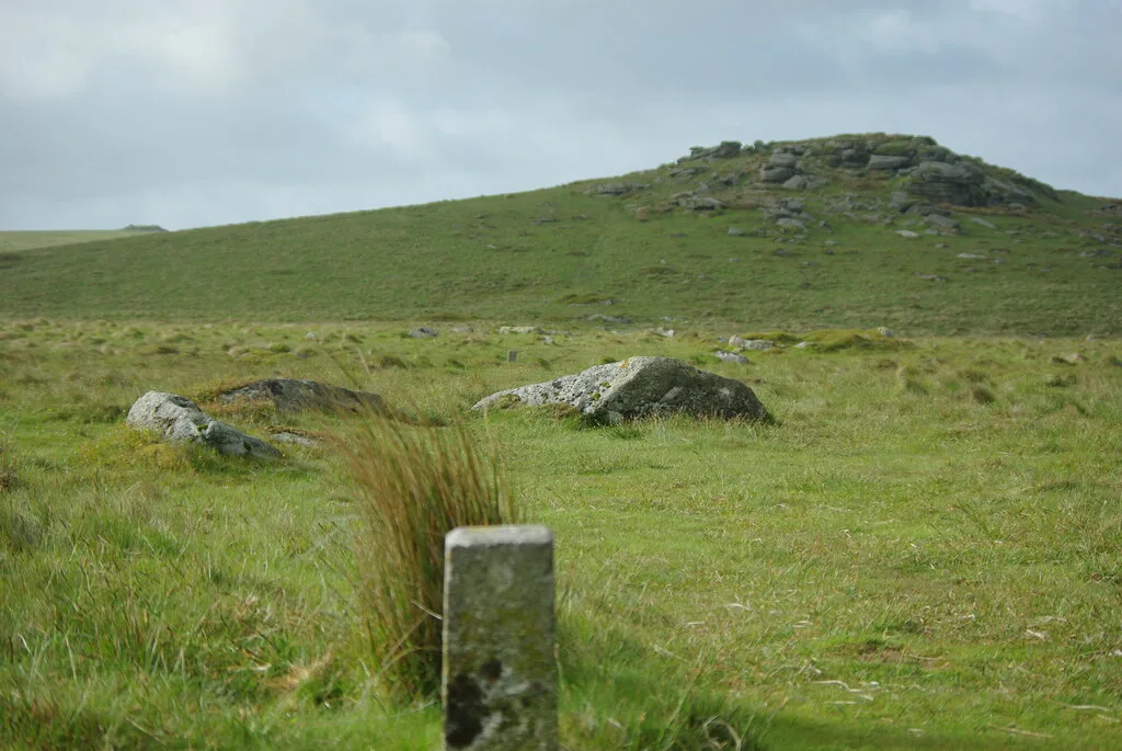
Between Devil's Bridge and Hart Tor, on a west-facing slope above the valley of the River Meavy, Historic England records a large unenclosed settlement of stone hut circles. Each hut is terraced into the hillside, with a wall of stone and earth round a circular floor (one is oval). Eight are scheduled separately and are described below; most stand 260 m to 510 m north and north-north-east of the tor. A gap or slab-lined gap in the wall marks several doorways.
Historic England notes that these huts may have been partly dug by the Dartmoor Exploration Committee in 1895. Our map also holds 19 further hut circle positions from older records of the same slope; they carry no entry of their own and several lie within a few metres of a scheduled hut, so they are probably the same buildings.
The eight scheduled huts
| Historic England entry | Grid reference | What survives |
|---|---|---|
| 1011182 | SX 58140 72274 | A hut 4.5 m across inside, with a wall 1.4 m wide and up to 0.7 m high. |
| 1011183 | SX 58113 72270 | A hut 5 m across inside, walls up to 0.8 m high, with a doorway through the south wall lined on both sides by upright slabs. |
| 1011176 | SX 58086 72317 | A hut 6.5 m across inside, wall 1.3 m wide and up to 0.4 m high, with a doorway gap in the south wall. |
| 1011175 | SX 58117 72323 | A hut 4.5 m across inside, wall 1.1 m wide and up to 0.6 m high. |
| 1011185 | SX 58158 72329 | An oval hut 2.4 m by 1.3 m inside, the smallest of the group, with a wall 2 m wide and a doorway facing south-south-east. |
| 1011186 | SX 58225 72345 | A hut 4 m across inside, wall 2 m wide and up to 0.6 m high, with a doorway gap facing south-south-west. |
| 1011188 | SX 58276 72402 | A hut 4.3 m across inside, wall 1.1 m wide and only 0.2 m high. |
| 1011187 | SX 58276 72476 | The largest of the eight: a hut 7.4 m across inside, wall 1.6 m wide and up to 0.9 m high. |
Grid references are from the Historic England entries. Each entry covers one scheduled monument; a monument can hold several features.
Contact us if you have information about this listing



The 27 rings on this map are the separate scheduled monuments that make up this listing, placed from Historic England’s records. Tap a ring for its grid reference and a link to its official entry. The pin marks the middle of the group.
Official record
Explore the area
Go deeper with Dartefacts
Dartefacts is a database of Dartmoor sites with far more close-up detail than we can show here, and it is the best place to go deeper. Dartefacts is free to use, and nobody has to pay to look things up. If you want more, a yearly subscription adds 10-figure grid references, map zoom down to 1:25,000 and lists to tick off the places you have visited, and it helps keep the site going. We would encourage you to subscribe.
Thoughts
Be the first to share a thought about Hut circles on Hart Tor.
Share a thoughtKnow another Dartmoor place, tor or landmark we should include? Suggest a listing, it is free.
Suggest a listing