← Browse Tors & Landmarks · Browse the directory

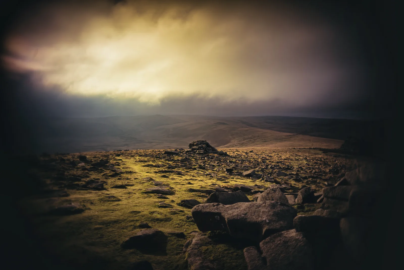
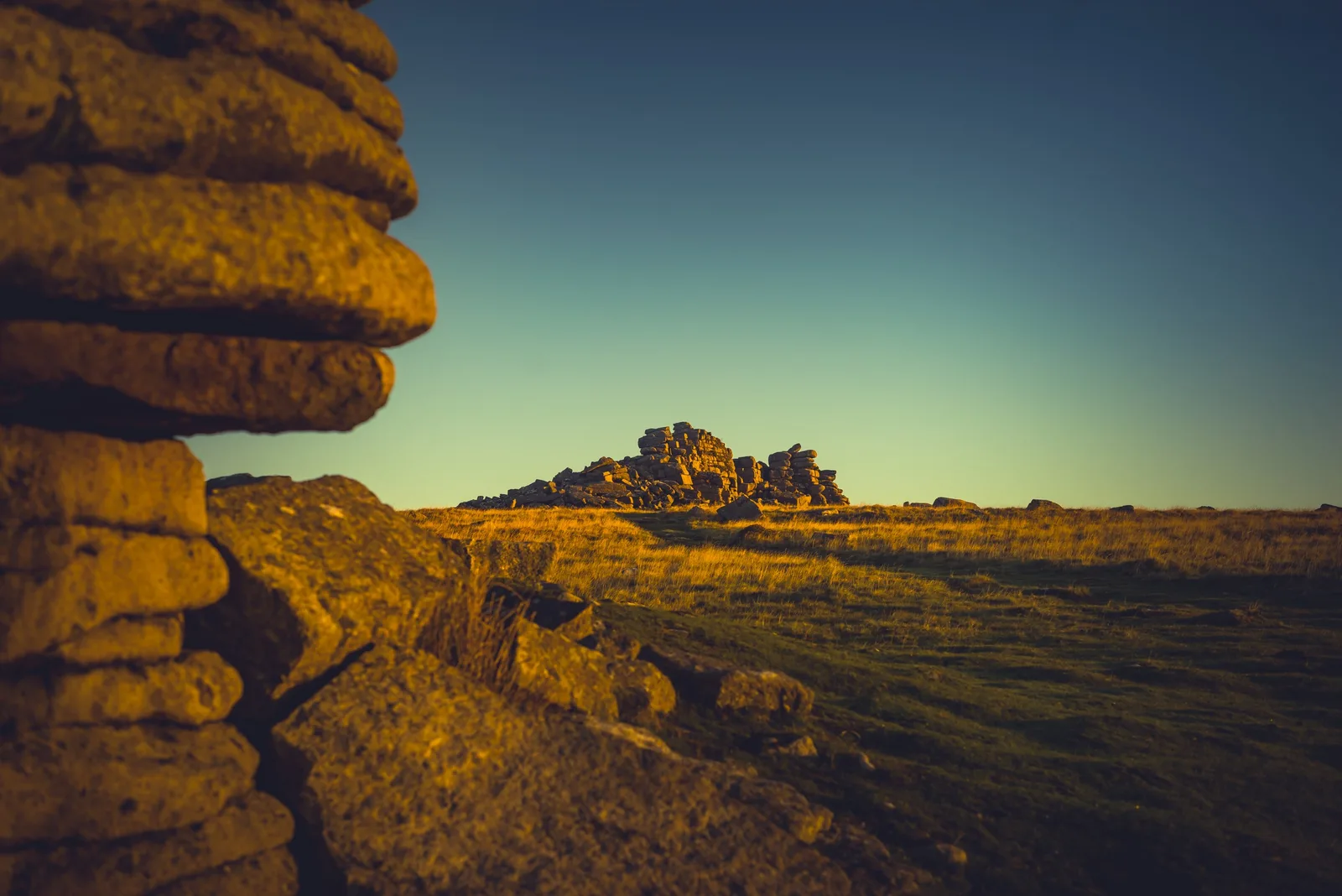
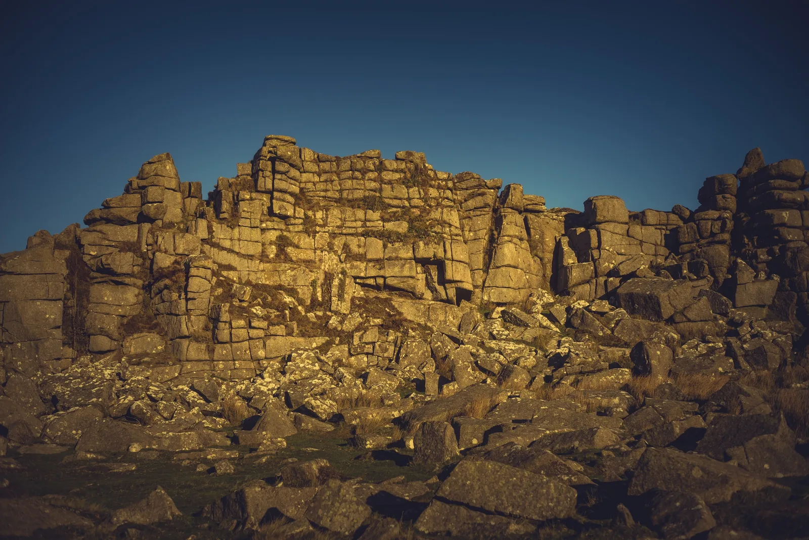
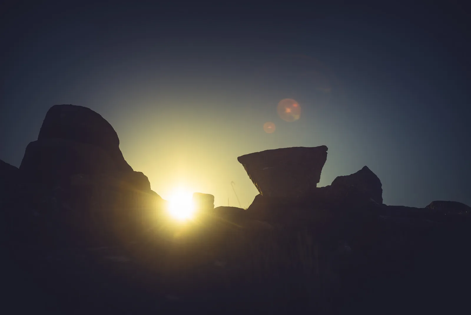
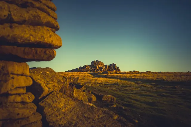
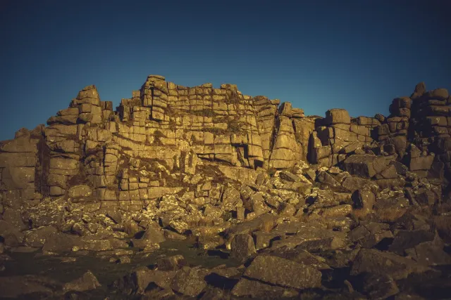
Higher Tor is a large granite tor on Belstone Common, just south-west of Belstone Tor and close enough to it that the two can pass for one. Tors of Dartmoor gives the height as 471 metres and Treks and Tors as 466, so call it about 470. The rock is a wide spread of clitter, outcrops and granite stacks, and the Treks and Tors author rates it among the most impressive areas of granite on the moor. The jointing makes some blocks look like stacked cubes; Hemery called the place a "splendid ruin of Nature". The lower stacks are popular with climbers.
Crossing lists it in 1888 as one of the Belstone group, and in 1902 as one of the range running south from Belstone village and crowning the ridge between the East Okement and the Taw. Rowe's Perambulation puts it south of Belstone Tor. The names have shifted over time: on Mudge's 1809 survey of Devon the labels Higher Tor and Belstone sit the other way round from where later Ordnance Survey maps put them, and Tors of Dartmoor also records the name Mudge's Belstone Tor. Nobody seems to know why the OS moved them.
The views run from Cosdon Hill in the east to Yes Tor in the west, with Oke Tor to the south and Steeperton Tor above Taw Marsh. Lower Tor stands about 180 metres to the south, and the Belstone and Okehampton boundary stones are near it. Hut circle settlements lie around the tor and have their own listings.
The tor is on the edge of the Okehampton range, so check the firing times and look for red flags before you go. The easiest way up from Belstone village passes the flagpole on Watchet Hill, which shows when the range is active. Dr Tom Greeves's list of range archaeology, in the 2002 Okehampton Artillery Range Historical Appraisal, records three former 800 yard ranges (A to C) at Higher Tor, with their firing points about a kilometre to the south-east. Those positions are approximate.
- Grid reference: SX 6128 9173 (Tors of Dartmoor)
- Height: about 470 m (466 to 471 m, depending on the source)
- Rock: granite
- Also known as: Mudge's Belstone Tor
Contact us if you have information about this listing

Explore the area
Go deeper with Dartefacts
Dartefacts is a database of Dartmoor sites with far more close-up detail than we can show here, and it is the best place to go deeper. Dartefacts is free to use, and nobody has to pay to look things up. If you want more, a yearly subscription adds 10-figure grid references, map zoom down to 1:25,000 and lists to tick off the places you have visited, and it helps keep the site going. We would encourage you to subscribe.
More Dartmoor resources
Thoughts
Be the first to share a thought about Higher Tor.
Share a thoughtKnow another Dartmoor place, tor or landmark we should include? Suggest a listing, it is free.
Suggest a listing