Height: Up to 1.85 m (Historic England); six feet on the road side in 1887 (Crossing)
Inscription: WB, for Warren Bounds
Status: Scheduled monument (Historic England list entry 1009189)
Period: Medieval
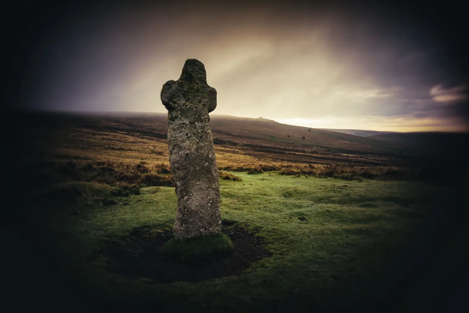
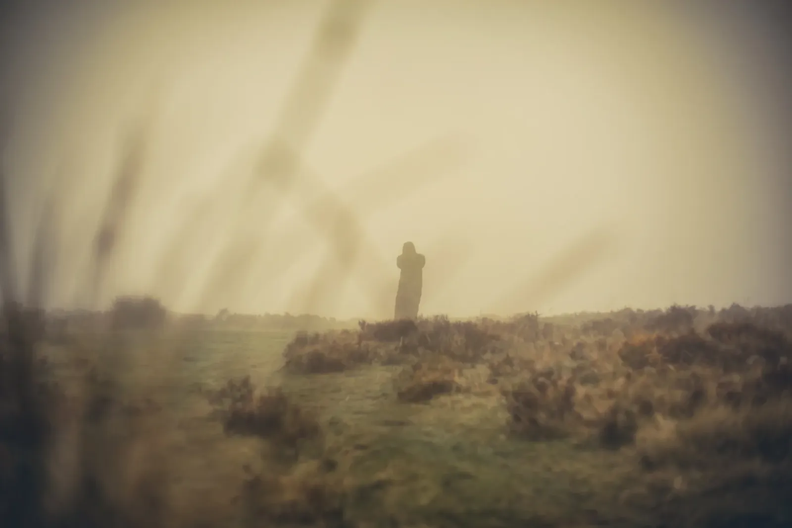
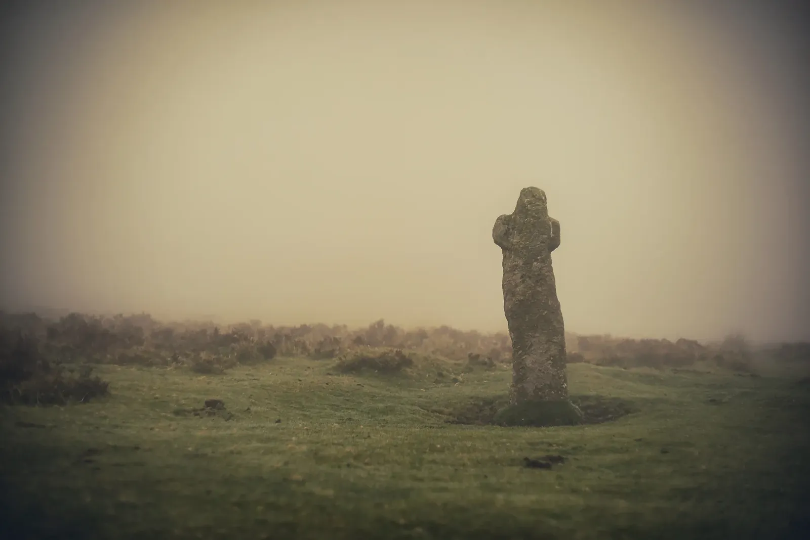
The cross stands a few yards from the B3212 between Postbridge and Moretonhampstead, close to a small car park and about 900 metres north-east of the Warren House Inn. It is a single block of coarse granite, leaning and rough: the shaft is little more than the stone in its natural shape, with short, stubby arms and a small head, and only the arms and the head above them show any dressing. William Crossing, describing it in 1887, called it a very fine cross in a very perfect condition but leaning well out of the upright, six feet high on the side facing the road, four feet ten inches to the underside of the arms, which are one foot nine inches across.
The letters WB are cut on the face towards the road. They stand for Warren Bounds, because the cross was one of the boundary marks of Headland Warren, the rabbit warren that once covered the slopes around Birch Tor. It is also a boundary mark of the parish of North Bovey, on the line with Chagford, and it marked the edge of the ground over which the rights of Vitifer Mine extended. Baring-Gould (1908) gives the same boundaries, and both he and Rowe (1896) describe the letters as modern. Crossing noticed loose stones near the cross, the marks set up when the tin bounds were renewed each year, laid 'brandis-wise' in the shape of the triangular stand that holds a kettle on the hearth. He thought it likely the cross was first raised to mark the North Bovey boundary, and that it may also have guided travellers along a track over the moor.
How old it is has not been settled. Dartefacts says it can be traced in records to at least 1702 and is probably older. Historic England notes that its style is unlike any other recorded Dartmoor cross, and with its remote but conspicuous position that makes it a strong candidate for a prehistoric standing stone that was later Christianised. It is set in an embanked hollow about four metres across.
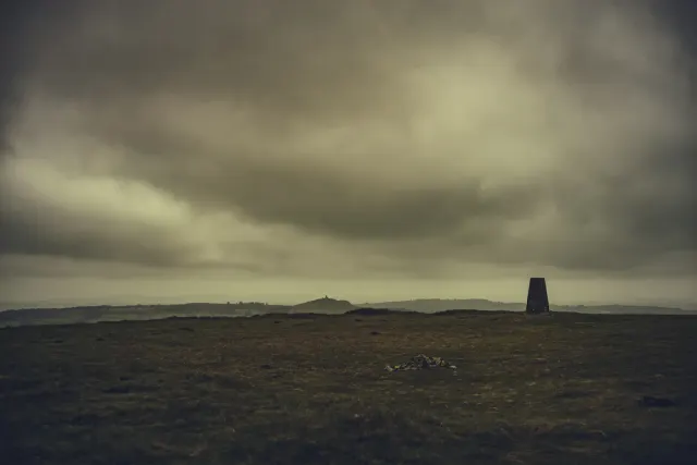
The cross was damaged in 1982, probably by lightning, which took away the first downstroke of the W, and it was repaired in 1983. Headland Warren boundary stones stand close by, with the old workings of Vitifer Mine below, and Birch Tor lies a little under a kilometre to the south-east. Walks to Vitifer Mine, Headland Warren and Birch Tor start from the car park beside the cross.
Dartefacts is a database of Dartmoor sites with far more close-up detail than we can show here, and it is the best place to go deeper. Dartefacts is free to use, and nobody has to pay to look things up. If you want more, a yearly subscription adds 10-figure grid references, map zoom down to 1:25,000 and lists to tick off the places you have visited, and it helps keep the site going. We would encourage you to subscribe.
Our Dartmoor doesn't track you and runs no adverts. We use one cookie to make the
site work, and some pages load videos, maps or optional social media panels from other sites, the panels only if you choose to show them.