Cairnfields, field systems and a reave near Cox Tor
Four scheduled monuments on the slopes of Cox Tor: two cairnfields, part of the Whitchurch Common coaxial field system and a reave later used by troops.
Bronze Age stone cairns scattered across the open moorland.
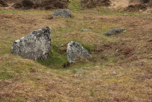
An outlying group beside Bellever Forest: a kerbed cairn 7.7 m across with a robbed cist 1.4 m long, a smaller cairn, and a 0.95 m standing stone 6.6 m away, cist dug before 1901.
Two cairns with cists and a hut circle on the east slope of Lakehead Hill: an 18 m kerbed cairn with a robbed cist, a 4.5 m cairn with a three-sided cist, and a hut dug in 1896.
The summit cairn of Cosdon, 27 m across and 3 m high, reused as a medieval beacon, with a ring cairn, a stone building and five post-medieval shelters.
A small kistvaen on the track from Tor Royal to Swincombe, one of the smallest on Dartmoor, with its cover-stone leaning against it, known as the Crock of Gold.
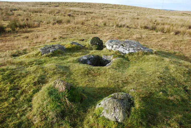
A cairn 5 m across and 0.2 m high with a square cist 1 m by 1 m, all its end and side slabs in place, on a west slope between the Langcombe Brook and Deadman's Bottom.
A flat-topped round cairn 9.7 m across and 0.6 m high, with several shallow hollows, on a west-facing slope above Bridestowe.
A cairn 5.5 m across with a kerb of eight stones and an irregular cist, 0.6 m deep, with its cover stone on the east side, above where the Langcombe Brook meets the Plym.
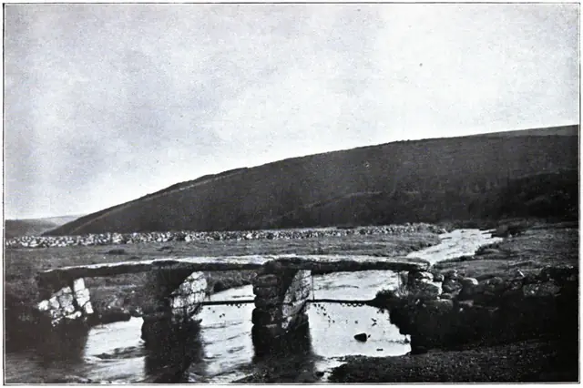
Plate from Dartmoor Illustrated, page 130, 1900“A vast, sweet, diamond-twinkling freshness filled the Moor; blue shadows lay in the dewy coombs, and sun-fires gleamed along the heather ridges.”
Also on Our DartmoorEasdon Farmhouse — A grade II* listed farmhouse on the eastern edge of Dartmoor, likely medieval in origin with later additions.