Owlacombe Burrow Rock
Haytor Vale
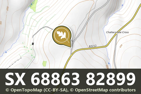
Owlacombe Burrow Rock is a non-gneissic rock face located near Haytor Vale, standing about 400 metres east of the minor road to Manaton.
Showing listings tagged “Boundary Stones” Show all listings
Haytor Vale
Owlacombe Burrow Rock is a non-gneissic rock face located near Haytor Vale, standing about 400 metres east of the minor road to Manaton.
Dartmoor Forest
A short northern moor brook flowing down from below East Mill Tor to join the East Okement River at Cullever Steps, a well-known ford and crossing near Belstone.
Ryder's Hill features two standing stones, a cairn, and a triangulation pillar on its summit.
A granite tor with a towering TV mast and a PCWW 1917 boundary stone built into the rock.
Three boundary stones marking the limits of a medieval warren on the open moor south of Headland Warren Farm.
A boundary stone marking the edge of Hentor Warren, a medieval enclosed grazing ground on the open moor south-east of Hen Tor.
Granite cross between Harford and Ugborough, probably a reused prehistoric stone-row stone. It became a parish boundary marker in 1782-84.
Leetown, Tavistock
Five granite boundary stones marking the western edge of Sampford Spiney, set across the open moorland landscape.
Lettaford, Chagford
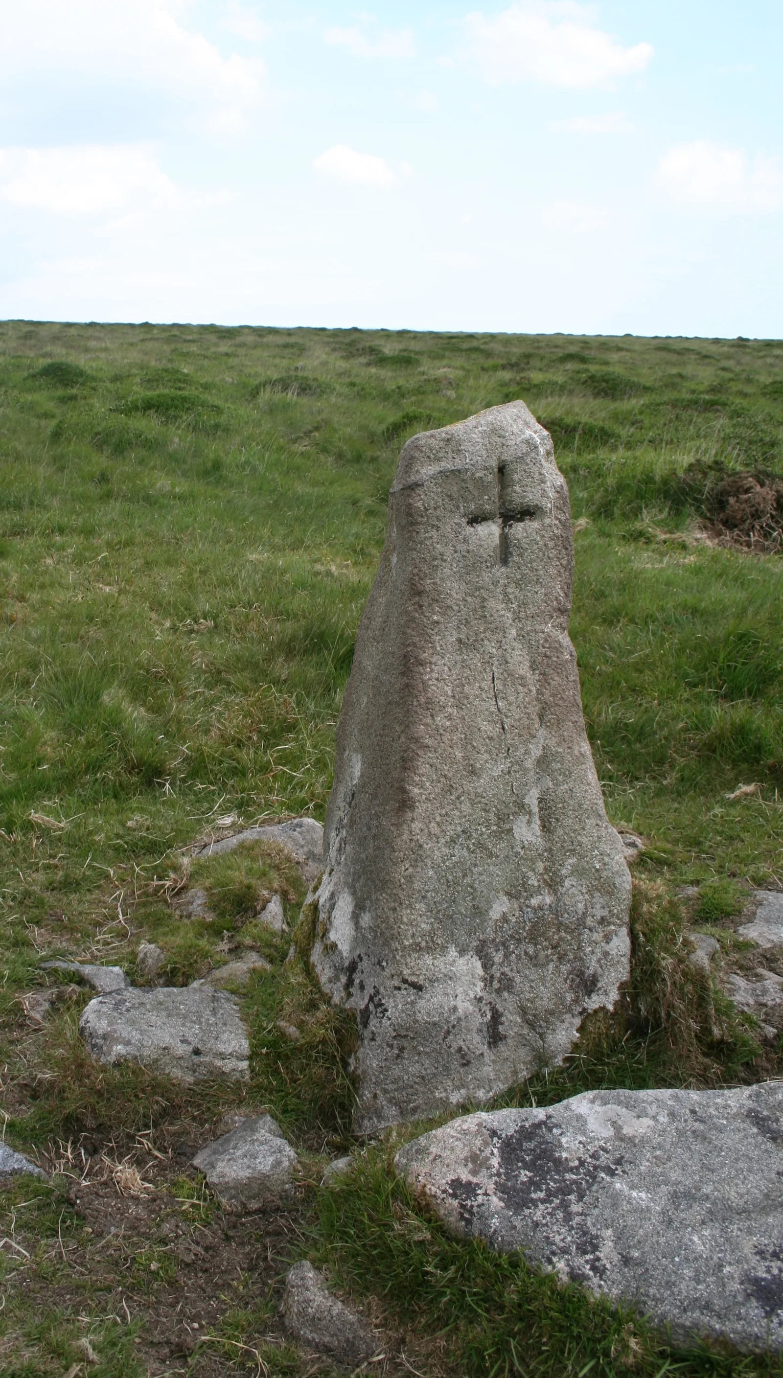
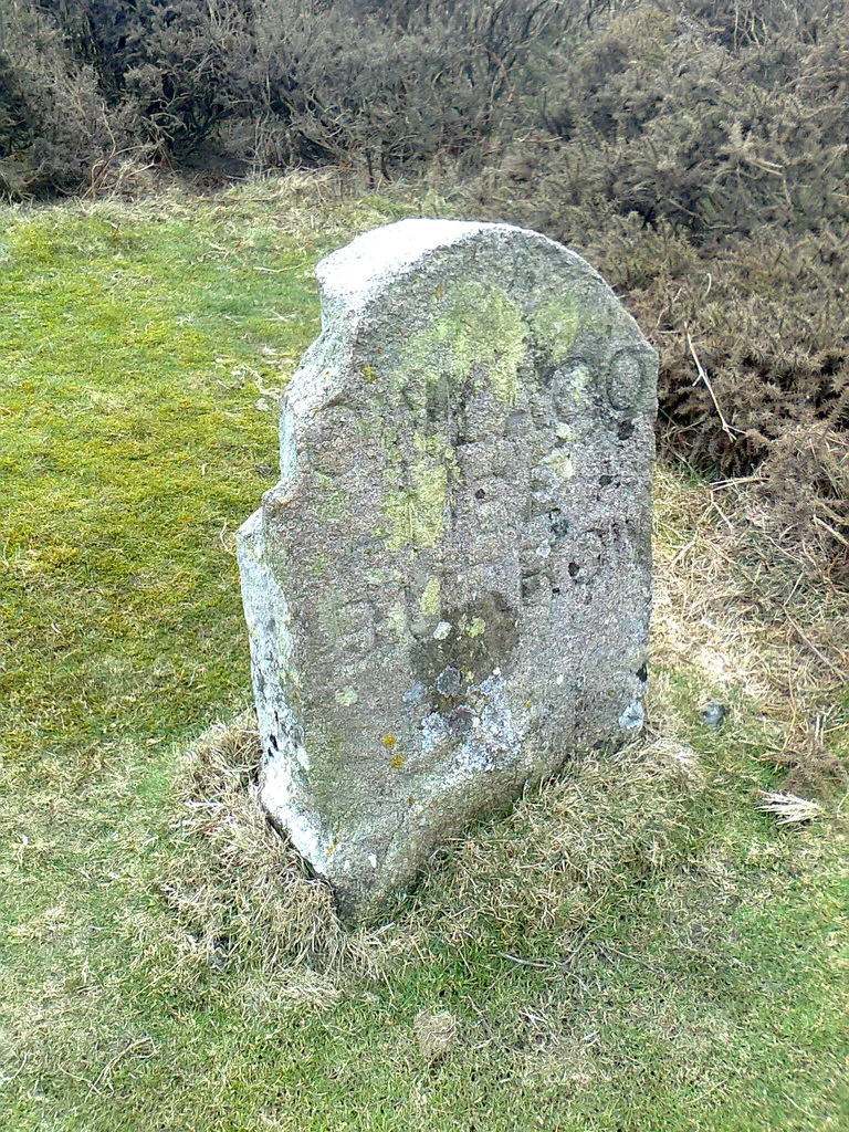
A stone marker recording a boundary line across the Dartmoor moorland, likely dating from the medieval period or later.