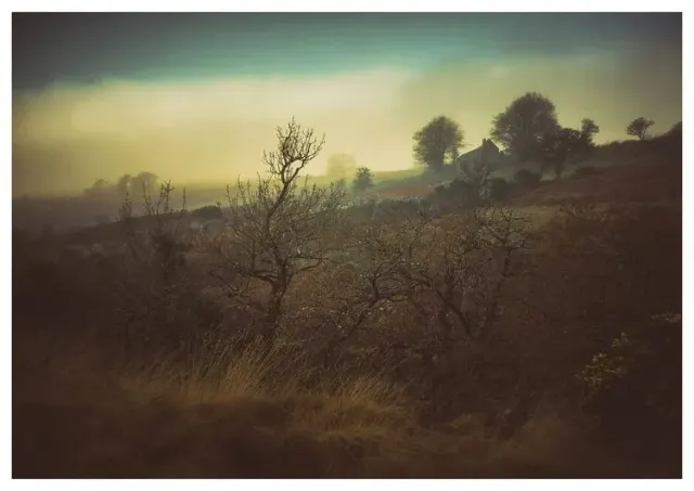
Tors & Landmarks
Halstock Hill
A distinctive hill with a prominent outcrop, located near the edge of the moor.


Showing listings tagged “Walking routes” Show all listings
A distinctive hill with a prominent outcrop, located near the edge of the moor.

A granite ridge with a peat pass running across its top, part of Dartmoor’s longest peat pass.
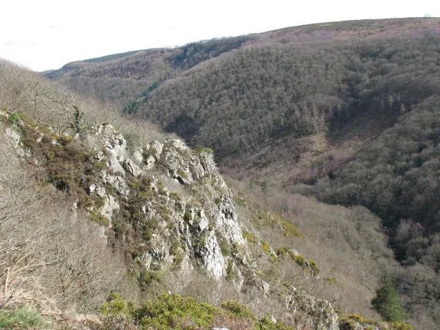
Drewsteignton
Two crags of shale, not granite, high above the Teign Gorge below Castle Drogo, with the Hunter's Path running a few metres from the summit.
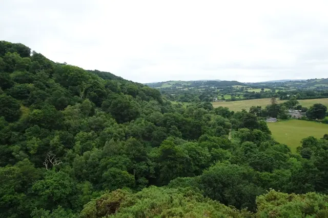
A granite outcrop of 188 m high above the north side of the Teign Gorge near Castle Drogo, marked on OS maps, with views east to Sharp Tor.

A prehistoric circular earthwork on the moorland northeast of Kelly College, likely an Iron Age or Bronze Age settlement.

A scheduled monument marking a cache site used by tin miners working the high moor north east of Norsworthy Bridge.

Two Bronze Age hut circles marking the southern edge of a scattered settlement on Conies Down Tor's eastern slopes.

Scheduled Monument with tin workings and Bronze Age remains scattered across the Meavy valley floor and tor slopes.

Bronze Age settlement remains west of Holwell Tor, among Dartmoor's extensive prehistoric archaeology.
