

Dartmoor quiz
Old books sometimes spell "Black Tor" differently. Which of these is one of those spellings?


← Browse Prehistoric Settlements · Browse the directory
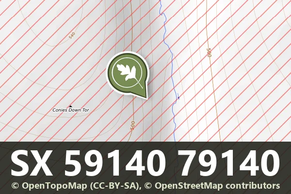
Grid ref: SX 5914 7914
On walking routes: The Lichway
These two stone hut circles, positioned 675 metres south-west of Beardown Man, form part of a dispersed Bronze Age settlement that spreads across the eastern face of Conies Down Tor. The hut circles represent the southern boundary of this loose grouping of domestic structures, typical of how communities on Dartmoor used the landscape rather than clustering tightly together.
Today they remain as low stone rings, weathered foundations where families once lived and worked the moor. Visiting the site means walking open moorland and reading the landscape as Bronze Age people knew it, with views across the eastern slopes and the pattern of settlement still visible to those who know what to look for.
Historic England listed designation: Two stone hut circles 675m south-west of Beardown Man forming the southern limit of a dispersed settlement on the eastern slopes of Conies Down Tor
Contact us if you have information about this listing
Dartefacts is a database of Dartmoor sites with far more close-up detail than we can show here, and it is the best place to go deeper. Dartefacts is free to use, and nobody has to pay to look things up. If you want more, a yearly subscription adds 10-figure grid references, map zoom down to 1:25,000 and lists to tick off the places you have visited, and it helps keep the site going. We would encourage you to subscribe.
Be the first to share a thought about Two hut circles near Beardown Man.
Share a thoughtOld books sometimes spell "Black Tor" differently. Which of these is one of those spellings?
Know another Dartmoor place, tor or landmark we should include? Suggest a listing, it is free.
Suggest a listing