The Rivers of Devon from Source to Sea
Page's 1893 tour of Devon's rivers from their sources - many rising on Dartmoor itself - down to the sea, with the towns and villages along their banks.
Showing listings tagged “Rivers and streams” Show all listings
Page's 1893 tour of Devon's rivers from their sources - many rising on Dartmoor itself - down to the sea, with the towns and villages along their banks.
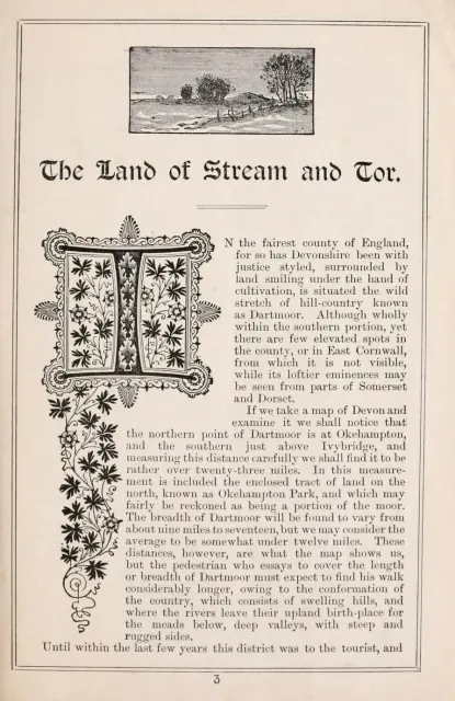
A descriptive 1891 account of Dartmoor's rivers, tors and prehistoric hut circles, opening with Crossing's own description of the moor as Devon's "liberal mountain urn."
South Tawton
The marshy head of the River Taw below Steeperton Tor: once a lake, the target of three reservoir schemes, and a source of Devon's drinking water from 1959 until the 1990s.
Meavy
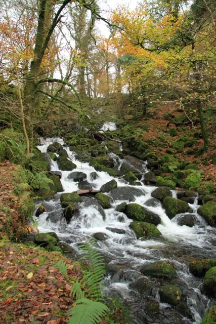
Burrator Waterfall, located some 300 metres south of the Burrator reservoir, is a picturesque cascade on Sheepstor Brook.
Which Dartmoor place has also been known as "Big Tip"?
Ashburton
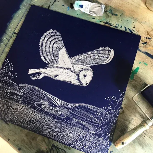
Courtney Arnold is a linocut printmaker working from a kitchen studio in Ashburton, inspired by the moorland, farmland and River Dart around her home.
Ashburton
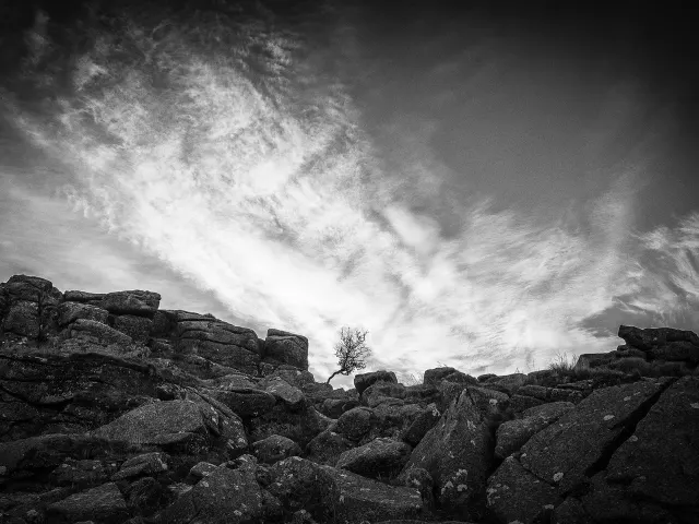
Mark Burley is a black and white landscape photographer capturing Dartmoor's rivers, waterfalls, woodland and moorland, shown at Sherewood Gallery in Ashburton.
A strategic collaboration of organisations, groups and individuals working together to restore and enhance the natural environment across Devon.
Dartmoor Forest
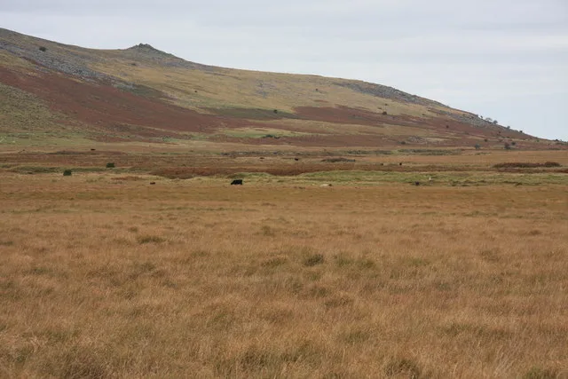
A short moorland river on the southern moor that flows down to join the River Swincombe near Foxtor Mires, part of the tangle of headwaters above Hexworthy.
Meavy
A brook flowing off the flanks of Sheeps Tor through the Burrator woods, past the ruins of Narrator farm, to feed Burrator Reservoir and the River Meavy.