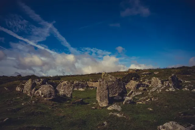
Enclosed settlement near Doetor Farm
A rounded enclosure 68 m by 65 m with nine hut circles, on the edge of the Walla Brook tin streamworks below Doe Tor.
Showing listings tagged “Scheduled Monument” Show all listings
A rounded enclosure 68 m by 65 m with nine hut circles, on the edge of the Walla Brook tin streamworks below Doe Tor.
A cairnfield of two clusters of four cairns, averaging 0.4 m high, with a field walled by a rubble bank 2 m wide, on a south-east slope above the East Dart.
Bronze Age cairn on the moorland south west of Higher Hartor Tor, a scheduled monument and marker of ancient settlement.
Down Tor Pound: a circular enclosure 47 m across with a double-faced rubble wall 2.5 m wide and an entrance marked by a slab through the wall, near a cairn and stone row.
Bronze Age settlement of stone-built roundhouses, now low circular foundations scattered across moorland north of Deadlake Foot.
Prehistoric settlements and organised field boundaries on the high moor, spanning several centuries of Bronze Age and later use.
Bronze Age cairnfield and settlement enclosure on the high moor east of Cuckoo Rock.
A cairn 14 m by 12 m and 1.5 m high, a mound of stones on an earth and stone base with a 0.4 m rim, on a west slope above Meavy Pool north-west of Ditsworthy Warren House.
A small enclosure about 30 m by 20 m with five hut circles, 2 to 10.5 m across, on a south-facing slope south-west of Gutter Tor.