Dartmoor quiz
Which Dartmoor place has also been known as "the Ring Road"?


← Browse Cairns & Barrows · Browse the directory

Main image: Photo: Guy Wareham, Wikimedia Commons
This scheduled monument comprises a Bronze Age cairnfield with an associated enclosure, situated on open moorland east of Cuckoo Rock. The cairns are burial or clearance monuments typical of Dartmoor's prehistoric landscape, while the enclosure suggests settlement or pastoral use during the Bronze Age. Together they form part of the dense archaeological record of the high moor, where Bronze Age communities left extensive traces of their occupation across the granite uplands.
Today the site remains largely as fieldwork and aerial survey have recorded it, scattered across the moorland surface. For visitors, it rewards careful walking and observation, particularly in low light when earthworks cast shadows that make ancient features more legible. The site sits within one of Dartmoor's richest prehistoric zones, where multiple monuments cluster across the landscape and tell of sustained human use of the high moor over many centuries.
Contact us if you have information about this listing
Dartefacts is a database of Dartmoor sites with far more close-up detail than we can show here, and it is the best place to go deeper. Dartefacts is free to use, and nobody has to pay to look things up. If you want more, a yearly subscription adds 10-figure grid references, map zoom down to 1:25,000 and lists to tick off the places you have visited, and it helps keep the site going. We would encourage you to subscribe.
Be the first to share a thought about Cairnfield near Cuckoo Rock.
Share a thought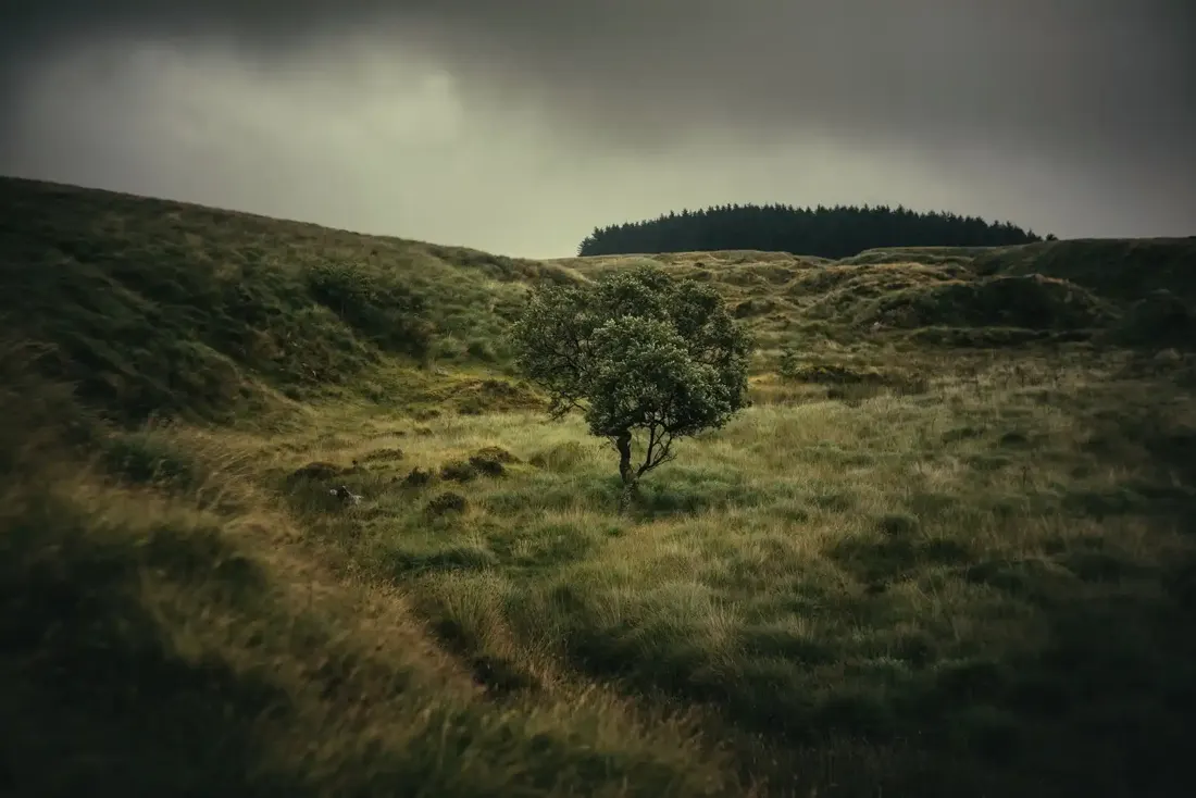 Devils elbow. Photograph by Glavind Strachan Photography
“'Way, these here pisgies be a makin' sich a rattle that I want put up wi't no more. I'll zee what they he up to; I can zee mun droo the 'all in the planchin'.”
Also on Our DartmoorRingmoor Down cairn, first of three — A cairn 5 m across and 0.4 m high with a possible kerb and a shallow central hollow, one of three on Ringmoor Down within 40 m of the Eylesbarrow reave.
Which Dartmoor place has also been known as "the Ring Road"?
Know another Dartmoor place, tor or landmark we should include? Suggest a listing, it is free.
Suggest a listing