
← Browse Belstone · Browse Tors & Landmarks · Browse the directory
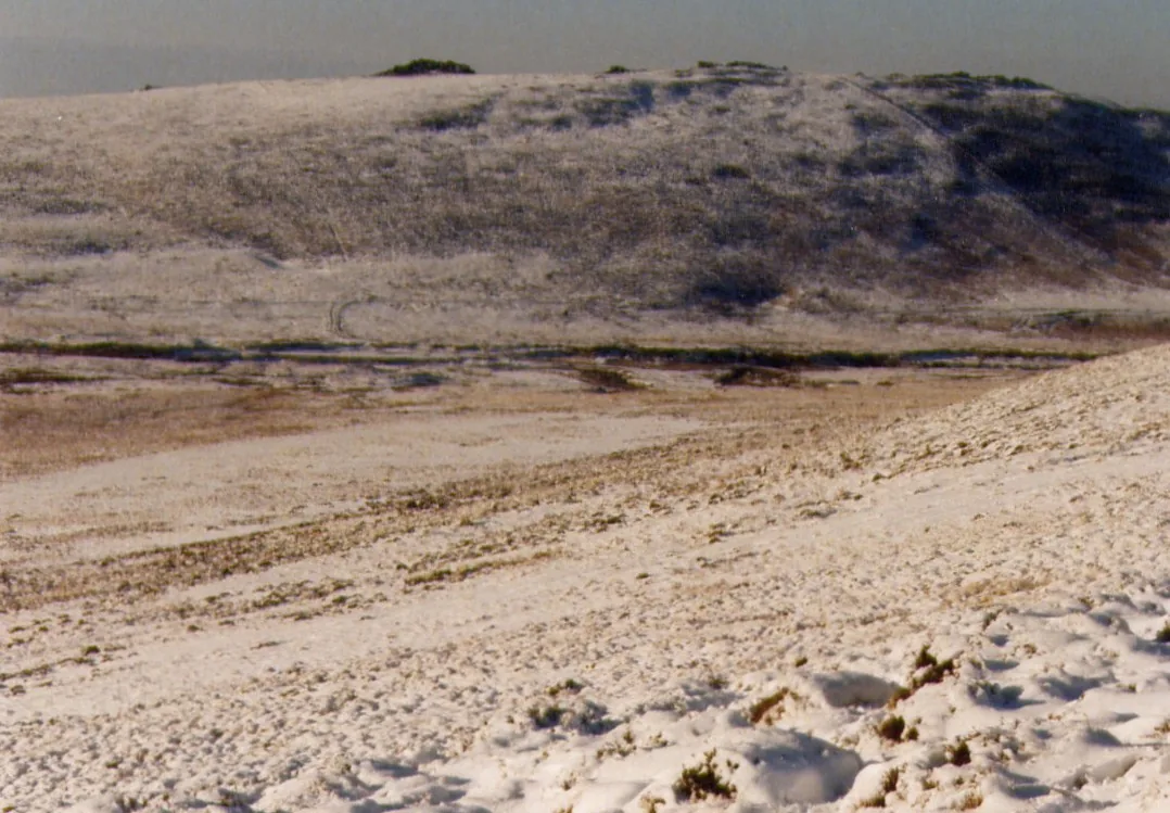
White Hill
Belstone, Okehampton, Devon
Grid ref: SX 6265 9081 Find this on the Map Reference Finder
Main image: Photo: Chris Andrews, Wikimedia Commons
- Grid reference: SX 628 906
- Parish: South Tawton (settlement complex), Dartmoor Forest
White Hill (SX 628 906) is a Bronze Age settlement site close to Taw Marsh, recorded as Devon HER MDV6887. The Megalithic Portal records enclosures and clear hut circles, including a large hut circle inside an enclosure. It lies about 1 km from the White Moor stone circle and the White Moor Stone.
It is recorded as part of the settlement complex on the western slopes of Cosdon Hill, scheduled in 1997. That complex has at least 54 stone hut circles in four clusters beside the Taw Marsh reave, a prehistoric land boundary 3 m wide and 0.7 m high, together with a tin streamwork and a very small stamping mill.
Not to be confused with White Hill in the Willsworthy firing range on the west of the moor, a small hill with a flagpole.
This is a location on Dartmoor that has a namesake. Read more about this: Dartmoor Places With the Same Name
Contact us if you have information about this listing
Explore the area
Go deeper with Dartefacts
Dartefacts is a database of Dartmoor sites with far more close-up detail than we can show here, and it is the best place to go deeper. Dartefacts is free to use, and nobody has to pay to look things up. If you want more, a yearly subscription adds 10-figure grid references, map zoom down to 1:25,000 and lists to tick off the places you have visited, and it helps keep the site going. We would encourage you to subscribe.
Thoughts
Be the first to share a thought about White Hill.
Share a thoughtKnow another Dartmoor place, tor or landmark we should include? Suggest a listing, it is free.
Suggest a listing