North Bovey village cross
A medieval cross head, arms and shaft, 1.27 m high, cemented onto a block over an old octagonal socket stone at the south-west end of North Bovey village green; Grade II, restored 1829.
Dartmoor's archaeology and heritage - antiquities, historic buildings and museums.
A medieval cross head, arms and shaft, 1.27 m high, cemented onto a block over an old octagonal socket stone at the south-west end of North Bovey village green; Grade II, restored 1829.
A Grade II* listed former Dartmoor longhouse at Forder, Gidleigh, on a steep slope, with a thatched roof and the inner room sunk into the hillside.
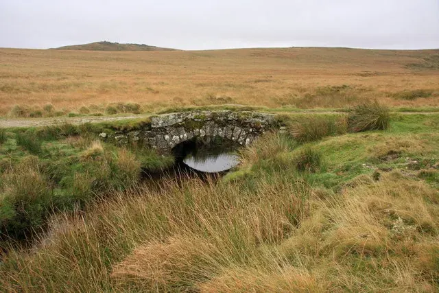
A stone arch bridge over the East Okement River on the track to the Oke Tor lookout, built for the army's Okehampton Artillery Range: span 4.1 m, width 4.3 m.
Okehampton
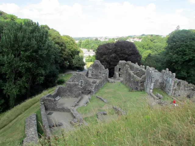
Norman castle ruins commanding the West Okement Valley, where crumbling stone walls tell of medieval power on the moor's edge.

Which Dartmoor place is this?
Okehampton Hamlets, Okehampton
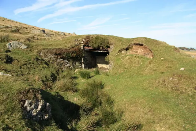
The army's northern artillery range on Dartmoor, used since 1873: the biggest set of military buildings and earthworks left on the moor, with 22 numbered observation posts.
A Grade II* listed farmhouse on the high moor, likely medieval or early modern in origin, with later additions reflecting centuries of moorland life.
A 13th-century wayside cross, 1.6 m high, at a fork in the road at Ouldsbroom, moved to Town Farm about 1825 and put back about 1957.
Hexworthy, Ashburton
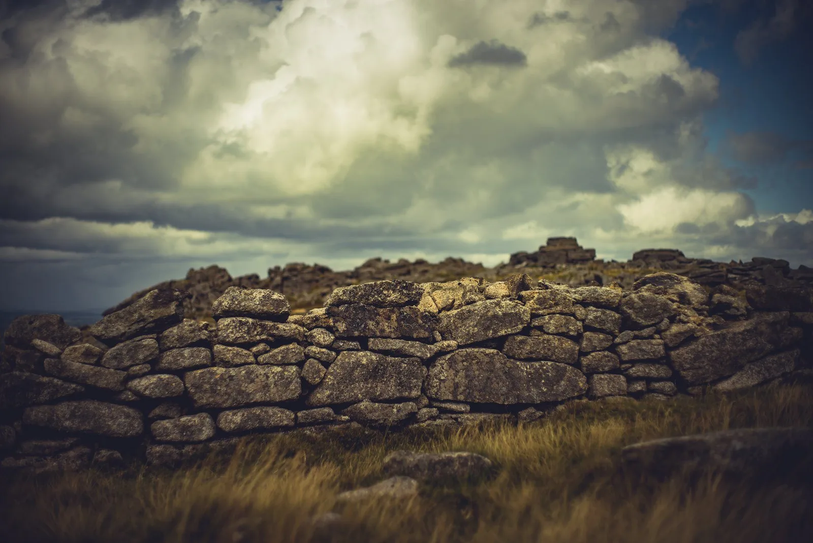
A Bronze Age hillfort on open moorland, its concentric rings still visible after thousands of years of wind and weather.
A large oval enclosure in Boro' Wood, 256 m by 160 m inside, read in turn as a hillfort, a stock enclosure, a copper mine or a woodland bank.
Plate from An Exploration of Dartmoor and Its Antiquities, page 78, 1889“In 1772 an Act was passed for the construction of a road for wheel traffic across the moor from Moretonhampstead to Tavistock. But for this road Dartmoor Prison would never have existed.”
Also on Our DartmoorTwo adjoining hut circles above Red Brook — Two adjoining hut circles, 8 m and 9 m across, above the right bank of Red Brook, the downstream one with an entrance flanked by upright stones.