Dartmoor quiz
What is the height of Beardown Man above ground?


← Browse Hillforts & Earthworks · Browse the directory

Main image: Photo: Derek Harper, Wikimedia Commons
Historic England's scheduling record (list entry 1002611) describes an enclosure on a prominent east-facing slope overlooking the valley of the River Ashburn. A single stony bank up to 9 metres wide and 1.5 metres high surrounds an oval inside about 256 metres long by 160 metres wide. Later stone quarrying has disturbed the bank, so it survives unevenly. It lies in the parish of Ashburton, about 1.8 km north-west of Ashburton.
Inside are many humps, hollows and platforms of different sizes that have been put down variously to occupation sites, charcoal burners' stands, mining, or natural features left by several hundred years of tree planting. A small pit near the centre and a short trench with a spoil dump in the south probably come from mineral prospecting of unknown date. To the north-west an open shaft with a ring of spoil belongs to the 19th-century Arundell or Druid Mine to the west, which worked from 1852 into the 1870s, and a circular earthwork platform north of the shaft would have held a horse whim for raising and lowering materials. Narrow slit trenches in the south-east quarter may come from military training, though none is known to have taken place in Boro' Wood.
The enclosure has been read as a prehistoric hillfort, a medieval stock enclosure, a copper mine or a woodland bank. It existed by at least 1605, when maps show it labelled a castle. A spindle whorl found in the bank, of unclear date, may point to a domestic or farming use.
Sources: Historic England list entry 1002611 (updated 12 November 2015), which cites PastScape 445328.
Contact us if you have information about this listing
Dartefacts is a database of Dartmoor sites with far more close-up detail than we can show here, and it is the best place to go deeper. Dartefacts is free to use, and nobody has to pay to look things up. If you want more, a yearly subscription adds 10-figure grid references, map zoom down to 1:25,000 and lists to tick off the places you have visited, and it helps keep the site going. We would encourage you to subscribe.
Be the first to share a thought about Oval enclosure in Boro' Wood.
Share a thought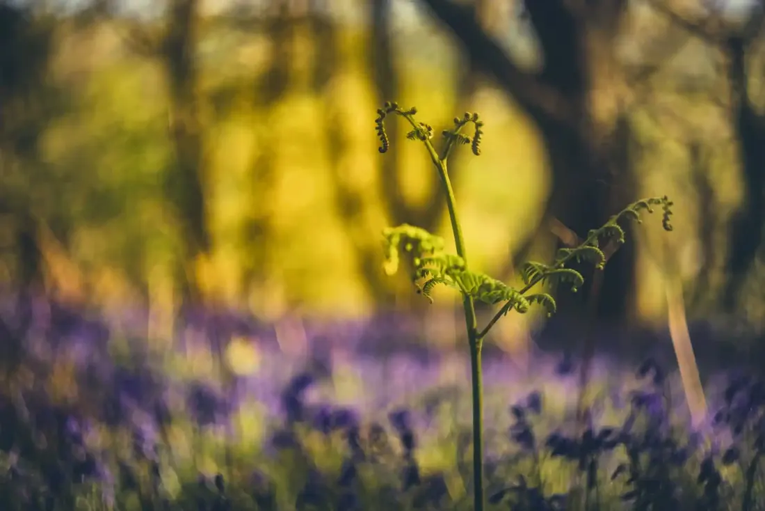 Bluebells in Skaigh Woods. Photograph by Glavind Strachan Photography
“Somewhere in the heart of the great Grimpen Mire, down in the foul slime of the huge morass which had sucked him in, this cold and cruel-hearted man is forever buried.”
Also on Our DartmoorPostbridge Cross (Maggie Cross) — The broken head of a medieval wayside cross, known as Maggie Cross, set into a roadside wall at Postbridge.
What is the height of Beardown Man above ground?
Know another Dartmoor place, tor or landmark we should include? Suggest a listing, it is free.
Suggest a listing