North Teign coaxial field system (western part), Shovel Down
Prehistoric field boundaries and later settlements on the high moor between Shovel Down and Long Ridge.
Dartmoor's archaeology and heritage - antiquities, historic buildings and museums.
Prehistoric field boundaries and later settlements on the high moor between Shovel Down and Long Ridge.
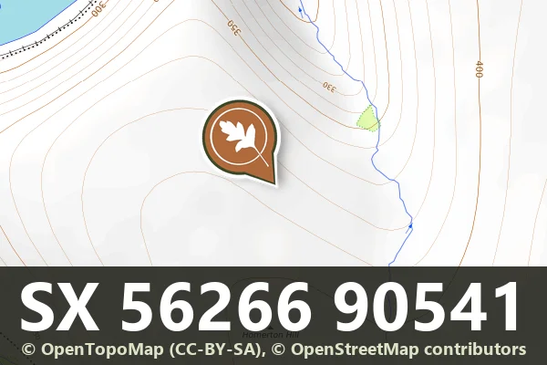
The north-eastern cairn of the Homerton Hill cairnfield, 4.3 m across and 0.3 m high.
Venton, Ashburton
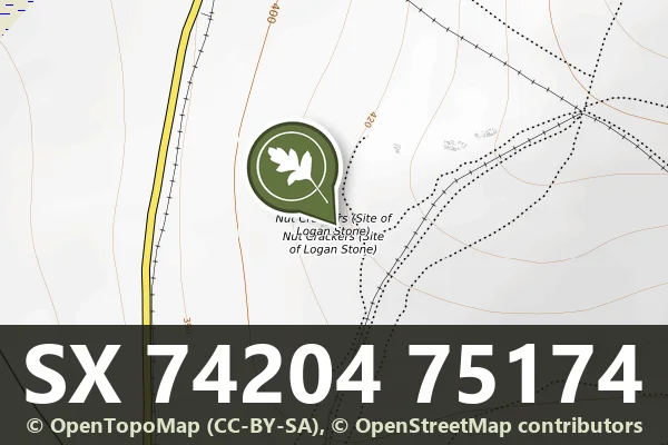
Scattered granite blocks on open moorland marking the site of a famous logan stone, moved centuries ago.
Two hut circle settlements and a kerbed cairn 4.9 m across on the east slope of Oke Tor above the Taw: a northern one of two enclosures and four huts, and a southern one of six enclosures and four huts.
Scheduled monument of experimental military earthworks on Okehampton Moor, likely 19th-century artillery fortifications.
“The peat glowed as though it were red-hot, and night brooded on the eastern face of every hill.”
Who wrote this?
Scheduled Monument remains of target railways built for the Okehampton Artillery Range on F Range, Dartmoor.
Belstone
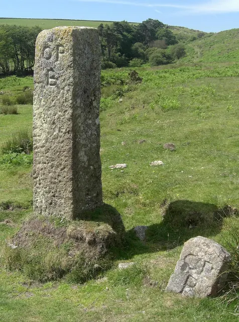
Two OPB (Okehampton Parish Bounds) stones at Cullever Steps, the larger a 19th-century replacement for the smaller: Dartefacts BS No.14 and BS No.15.
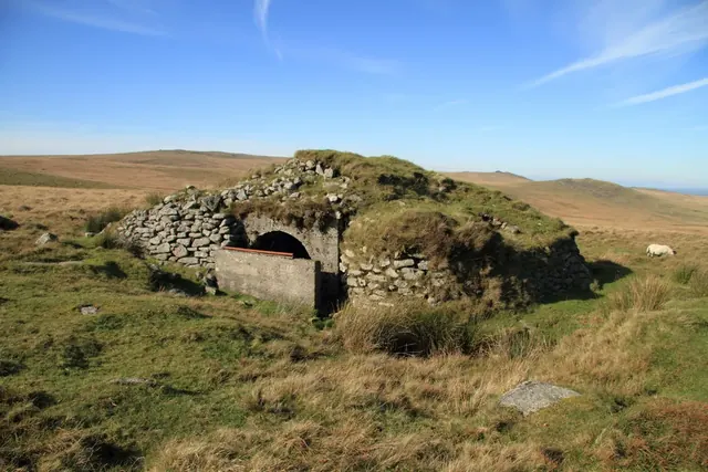
Observation Post 16 and its target butts, 737 m north-east of the summit of Okement Hill: a concrete shelter under a mound 3.9 m high and two shell-damaged butts, in an area of craters.
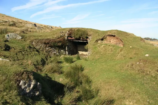
Observation Post 6 and the incline target carrier railway of about 1895 on East Mill Tor: a turf-covered concrete-lined shelter 6.4 m by 2.5 m and a curving cutting of about 20-inch gauge, ending at Skit Bottom.