

← Browse Cairns & Barrows · Browse the directory
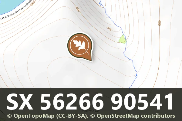
Historic England's scheduling record (list entry 1010780) describes a cairn at the outer edge of a cairnfield on a gentle north-west-facing slope of Homerton Hill, above the West Okement River. Other cairns, an enclosure and a bank nearby have their own schedulings. The mound is 4.3 metres across and up to 0.3 metres high. It may hold a burial, but it belongs to a group that most likely represents stone cleared for cultivation. It lies in the parish of Okehampton Hamlets, about 0.9 km north-east of Shelstone Tor and 2.8 km east of Sourton.
Sources: Historic England list entry 1010780, which cites the Devon County Sites and Monuments Register (SX59SE58, 1982) and fieldwork for the Monuments Protection Programme by S. Gerrard.
- Period: Bronze Age
- Status: Scheduled monument (Historic England list entry 1010780)
- Grid reference: SX 5626 9054 (approximate, from the listing's coordinates)
Historic England listed designation: North easternmost cairn forming part of a cairnfield on Homerton Hill
Contact us if you have information about this listing


Official record
Explore the area
Go deeper with Dartefacts
Dartefacts is a database of Dartmoor sites with far more close-up detail than we can show here, and it is the best place to go deeper. Dartefacts is free to use, and nobody has to pay to look things up. If you want more, a yearly subscription adds 10-figure grid references, map zoom down to 1:25,000 and lists to tick off the places you have visited, and it helps keep the site going. We would encourage you to subscribe.
More Dartmoor resources
Thoughts
Be the first to share a thought about North-eastern cairn of the Homerton Hill cairnfield.
Share a thoughtKnow another Dartmoor place, tor or landmark we should include? Suggest a listing, it is free.
Suggest a listing