

← Browse Prehistoric Settlements · Browse the directory

Main image: Photo: Sandy Gerrard, Wikimedia Commons
Historic England's scheduling record (list entry 1011168) describes four enclosures, 16 stone hut circles and a number of rubble walls within an enclosing boundary, an enclosed settlement on a gentle east-facing slope of Leeden Tor overlooking the valley of the River Meavy. The main enclosure is a rubble bank 3 metres wide and up to 1.1 metres high around an area up to 150 metres north to south by 100 metres east to west. Its west side was either never finished or survives as a buried feature. It lies in the parish of Walkhampton, about 1 km south-east of Ingra Tor and 3.1 km east of Sampford Spiney.
Inside are three smaller joined curved enclosures and several short walls, bounded by rubble walls 1.5 metres wide and 0.5 metres high. Stones have been cleared from the insides, but a lot of clitter remains. Ten huts lie in the smaller enclosures and the other six in an arc just to their west. That line of six suggests they were once linked by a palisade or something like it, now buried, and it is probably the true line of the main enclosure's west side.
Fifteen huts are circular, 2.3 to 8 metres across inside and averaging 4.2 metres, and one is oval, 8.4 by 6.8 metres. The walls are 0.3 to 1 metre high, averaging 0.62 metres. Ten huts are attached to visible boundary walls, two have two rooms, five have doorways you can identify and one has an annex. Hut circles, a reave, a round cairn and a stone alignment lie close by.
Sources: Historic England list entry 1011168, which cites the Devon County Sites and Monuments Register (SX57SE17, SX57SE17.2 and SX57SE17.3), the National Archaeological Record (SX57SE42), Gibson, Single Monument Class Description: Stone Hut Circles (1987), and fieldwork for the Monuments Protection Programme by S. Gerrard.
- Period: Bronze Age
- Status: Scheduled monument (Historic England list entry 1011168)
- Grid reference: SX 5647 7163 (approximate, from the listing's coordinates)
Contact us if you have information about this listing
Official record
Explore the area
Go deeper with Dartefacts
Dartefacts is a database of Dartmoor sites with far more close-up detail than we can show here, and it is the best place to go deeper. Dartefacts is free to use, and nobody has to pay to look things up. If you want more, a yearly subscription adds 10-figure grid references, map zoom down to 1:25,000 and lists to tick off the places you have visited, and it helps keep the site going. We would encourage you to subscribe.
More Dartmoor resources
Thoughts
Be the first to share a thought about Leeden Tor east enclosed settlement.
Share a thought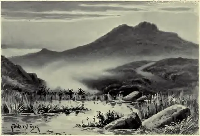 Plate from A Book of Dartmoor, page 185, 1900
“It is only when the thick white fog comes down upon the moor that these poor creatures ever dream of freedom.”
Also on Our DartmoorHalstock Hill — A distinctive hill with a prominent outcrop, located near the edge of the moor.
Know another Dartmoor place, tor or landmark we should include? Suggest a listing, it is free.
Suggest a listing