

Dartmoor quiz
“Us could tie up the knees so's the presents wouldn't drop out, couldn't us, Muther?”
Who wrote this?


← Browse Prehistoric Settlements · Browse the directory
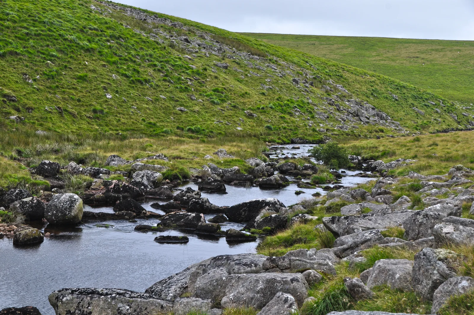
Main image: West Devon, Dartmoor Scenery - The River Tavy - 43 metres from location - image by Lewis Clarke (CC BY-SA 2.0), via Wikimedia Commons
Historic England's scheduling record (list entry 1011568) describes a stone hut circle and a rectangular medieval or post-medieval tinners' building on a gentle south-facing slope above the River Tavy. The hut is part of the large unenclosed Watern Oke settlement. It is terraced into the hillside, with a stone and earth wall 1.6 metres wide and 0.7 metres high round a space 2.3 metres across. The tinners' building has a rectangular drystone wall 1.2 metres wide and 0.8 metres high round a space 5.8 metres long by 3.2 metres wide, with a large earthfast boulder in the middle and a doorway facing east. It lies in the parish of Dartmoor Forest, about 1.9 km west of Fur Tor.
Both were partly excavated by the Dartmoor Exploration Committee in June and July 1905. There is no record of finds in the hut, which the excavators read as a cook-house. The excavation of the tinners' building strongly suggests it was built on top of an earlier hut, and it produced a large rubbing stone, pottery and a flint arrowhead. A corroded piece of iron, probably a knife, was of the same date as the later building.
Sources: Historic England list entry 1011568, which cites Anderson, 'Hut Circle Settlement at Watern Oke' (Devonshire Association Transactions, vol 38, 1906), page 112, and Gibson, Single Monument Class Description: Stone Hut Circles (1987).
Historic England listed designation: A stone hut circle forming part of an unenclosed settlement, and tinners' building at Watern Oke
Contact us if you have information about this listing
Dartefacts is a database of Dartmoor sites with far more close-up detail than we can show here, and it is the best place to go deeper. Dartefacts is free to use, and nobody has to pay to look things up. If you want more, a yearly subscription adds 10-figure grid references, map zoom down to 1:25,000 and lists to tick off the places you have visited, and it helps keep the site going. We would encourage you to subscribe.
Be the first to share a thought about Watern Oke: hut circle and tinners' building.
Share a thought Photograph by Glavind Strachan Photography
“...it's now rare to hear the Dartmoor dialect, songs, and stories being told in homes and pubs in the hamlets and villages.”
Also on Our DartmoorPrewley Moor — A quiet, open moorland area with views towards Sourton Tors, captured in a summer photograph by Glavind Strachan.
“Us could tie up the knees so's the presents wouldn't drop out, couldn't us, Muther?”
Who wrote this?
Know another Dartmoor place, tor or landmark we should include? Suggest a listing, it is free.
Suggest a listing