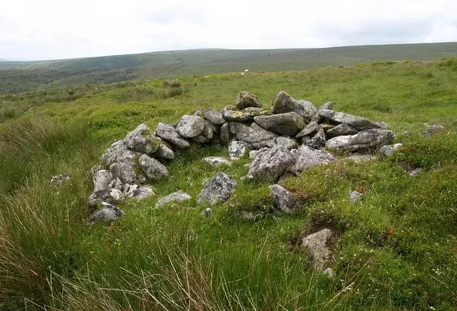
Shapley Common hut circles and fields
At least five hut circles, 5.3 to 7.7 m across, and four rectangular fields of the Shapley Common field system on a north slope above Green Combe, the fields laid out to avoid the huts.
Showing listings tagged “Scheduled Monument” Show all listings
At least five hut circles, 5.3 to 7.7 m across, and four rectangular fields of the Shapley Common field system on a north slope above Green Combe, the fields laid out to avoid the huts.
Bronze Age stone hut circle settlement west of Horn's Cross, partially enclosed within a protective boundary.
An Iron Age hillfort 66.5 m by 62 m with a rampart up to 9 m wide, outer ditch, and a 29 m medieval longhouse built inside it, above the River Lyd in South Longridge Wood.
A small stone cist, 0.68 m by 0.22 m, with upright slabs up to 0.6 m high, on the eastern edge of a large hut circle settlement above the Yealm.
A cairn 5 m across and 0.2 m high with a square cist 1 m by 1 m, all its end and side slabs in place, on a west slope between the Langcombe Brook and Deadman's Bottom.
A cairn 6 m across with an off-centre cist 1.7 m long, six kerb stones and the cover stone lying beside it, on a north-west slope north of Whittenknowles Rocks.
Postbridge
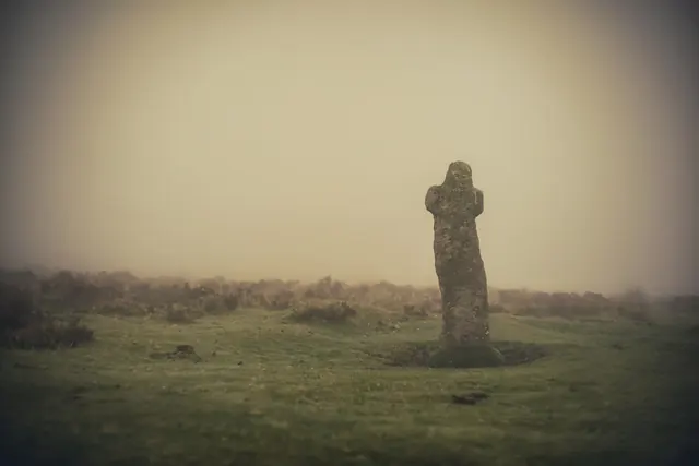
A leaning, rough-hewn granite cross beside the B3212 near the Warren House Inn, cut with 'WB' for Warren Bounds and marking a parish boundary and the edge of Headland Warren.
A coffin-shaped cross without arms, 1.7 m high, with a relief cross on one face and an incised cross on the other, moved in 1873 and re-set in 1900; possibly a Christianised standing stone.