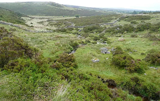
Partially enclosed hut circle settlement near The Grey Wethers
Bronze Age hut circle settlement south of the Grey Wethers, partially enclosed by stone walls and visible as earthwork remains.
Showing listings tagged “Scheduled Monument” Show all listings
Bronze Age hut circle settlement south of the Grey Wethers, partially enclosed by stone walls and visible as earthwork remains.
A Bronze Age cemetery of burial cairns scattered across the high ridge.
A 14th-century type cross head on a modern 1.8 m octagonal shaft, restored in 1914, 20 m south of the old track between Buckfast and Tavistock abbeys.
A fallen stone circle 32 m across, a row of 74 small cairns 344.5 m long, a broken cider mill stone and a later ditch, on the saddle between Sourton Tors and Corn Ridge.
A cairn cemetery of nine round cairns, 4 to 6.9 m across, set in two lines above the North Teign, four with pits from robbing or early digs.
A cairn 4.8 m across and 0.6 m high on an east slope above the East Dart, with a slight hollow north of centre.
An enclosure with a stone hut circle 6 m across on the steep west slope of Little Gnats' Head above the Plym, partly buried under deep peat.
An agglomerated enclosure of two parts on a steep east slope of Cosdon Hill above Shilley Pool; the older eastern part holds a hut circle 5.1 m across.
A medieval wayside cross standing on open moorland south-west of Sampford Spiney, marking an ancient route across Dartmoor.