Dartefacts is a database of Dartmoor sites with far more close-up detail than we can show here, and it is the best place to go deeper. Dartefacts is free to use, and nobody has to pay to look things up. If you want more, a yearly subscription adds 10-figure grid references, map zoom down to 1:25,000 and lists to tick off the places you have visited, and it helps keep the site going. We would encourage you to subscribe.
“the fog-wreaths came crawling round both corners of the house and rolled slowly into one dense bank on which the upper floor and the roof floated like a strange ship upon a shadowy sea.”
Also on Our DartmoorHuts and fields NE of Rippon Tor — Scheduled Monument: Bronze Age huts and enclosed fields northeast of Rippon Tor.
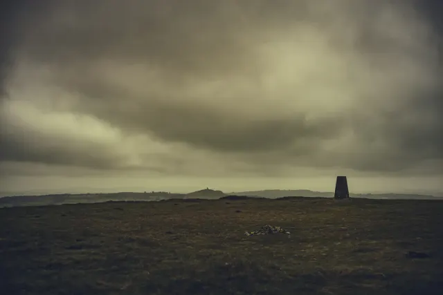
Dartmoor quizPhotograph by Glavind Strachan Photography
Which Dartmoor place is this?
Know another Dartmoor place, tor or landmark we should include? Suggest a listing, it is free.
Our Dartmoor doesn't track you and runs no adverts. We use one cookie to make the
site work, and some pages load videos, maps or optional social media panels from other sites, the panels only if you choose to show them.



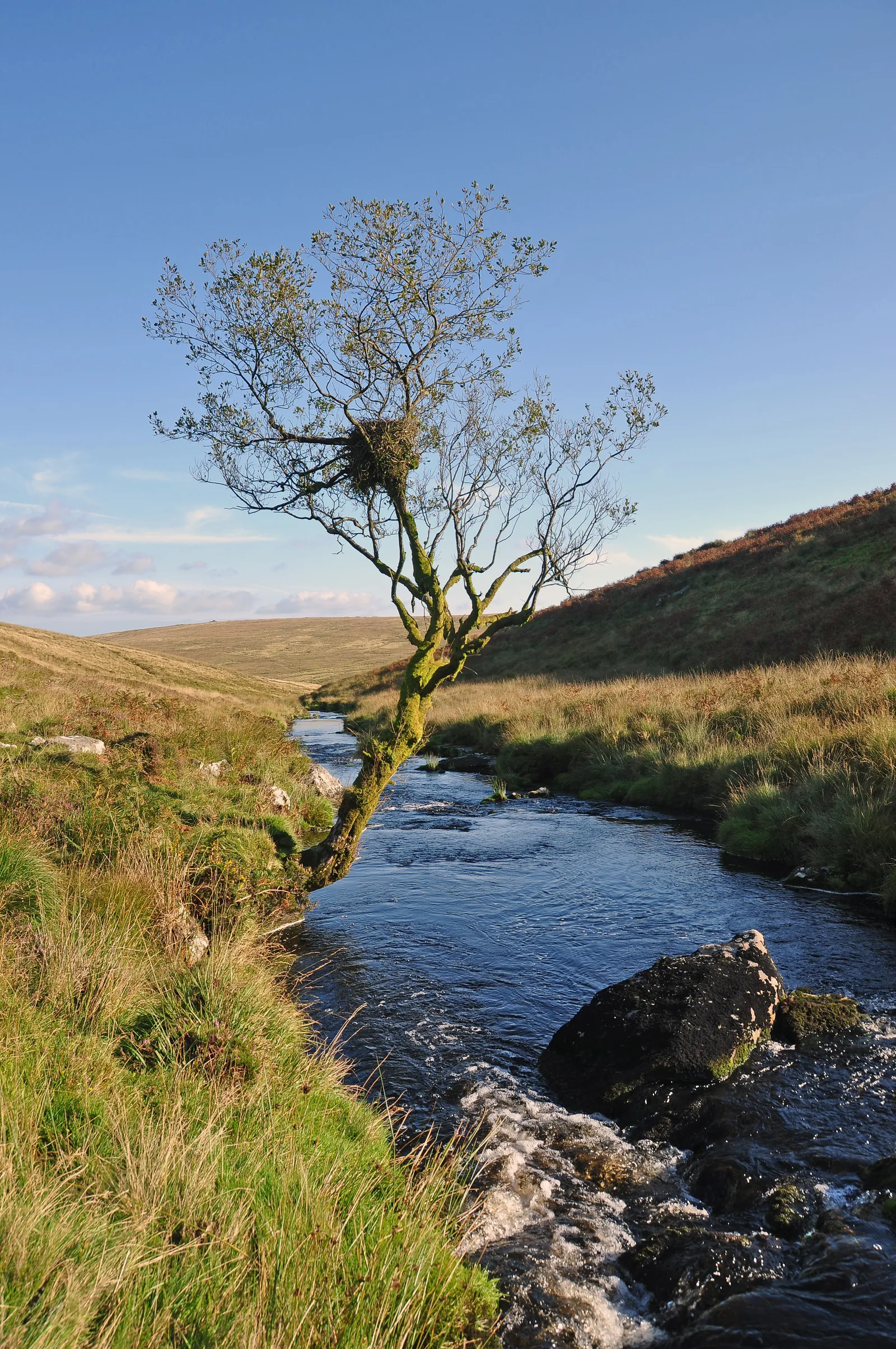
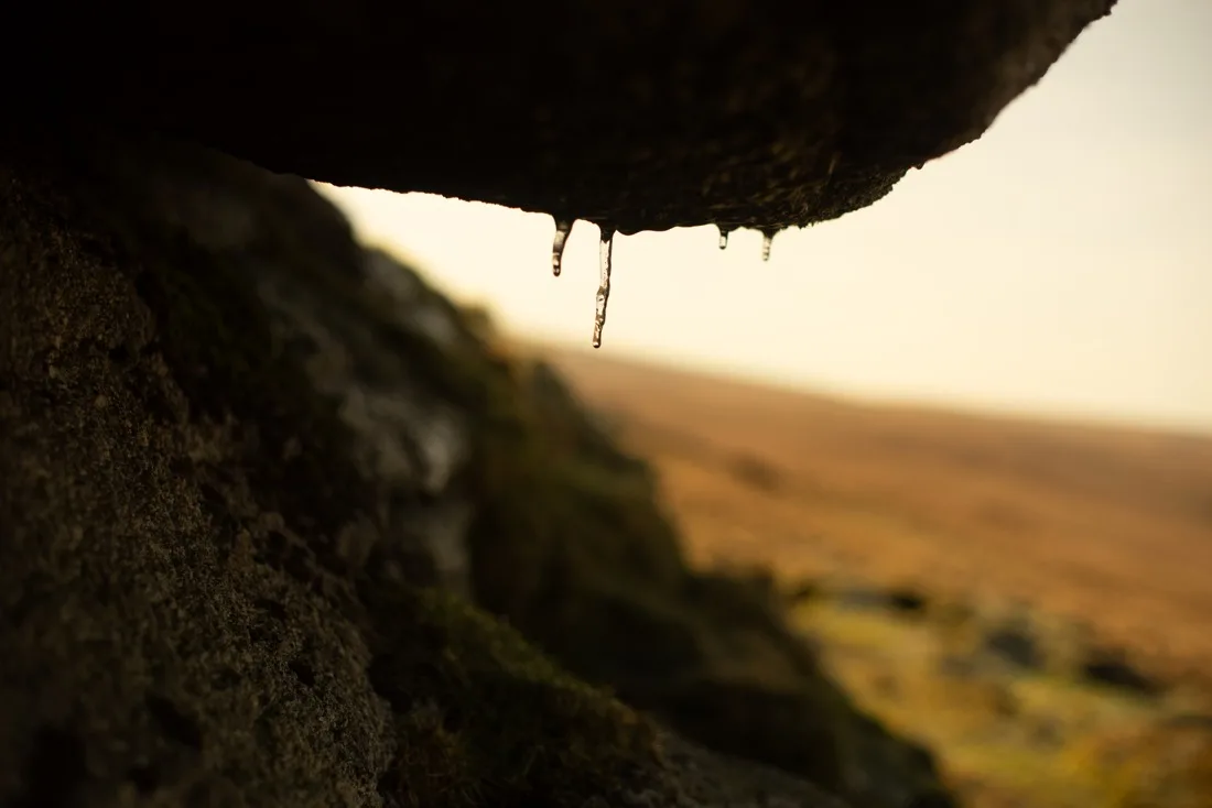 Photograph by Glavind Strachan Photography