

Dartmoor quiz
Which Dartmoor place has also been known as "the Ring Road"?


← Browse Prehistoric Settlements · Browse the directory
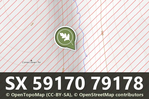
Grid ref: SX 5917 7917
On walking routes: The Lichway
Historic England's scheduling record (list entry 1012543) describes a stone hut circle on an east-facing slope above the River Cowsic, part of a scattered settlement on the lower slopes of Conies Down Tor. It is terraced into the hillside and built of rubble, with a wall 1.8 metres wide and up to 0.6 metres high round a space 4 metres across. It stands on the east side of the settlement. It lies in the parish of Dartmoor Forest, about 0.6 km south-west of Devil's Tor.
Sources: Historic England list entry 1012543, which cites Gibson, Single Monument Class Description: Stone Hut Circles (1987).
Historic England listed designation: Stone hut circle 630m south-west of Beardown Man forming part of a dispersed settlement on the eastern slope of Conies Down Tor
Contact us if you have information about this listing
Dartefacts is a database of Dartmoor sites with far more close-up detail than we can show here, and it is the best place to go deeper. Dartefacts is free to use, and nobody has to pay to look things up. If you want more, a yearly subscription adds 10-figure grid references, map zoom down to 1:25,000 and lists to tick off the places you have visited, and it helps keep the site going. We would encourage you to subscribe.
Be the first to share a thought about Hut circle on the east side of the Conies Down Tor settlement.
Share a thoughtWhich Dartmoor place has also been known as "the Ring Road"?
Know another Dartmoor place, tor or landmark we should include? Suggest a listing, it is free.
Suggest a listing