
Historic Buildings
Ensworthy
A Grade II* listed building on the eastern moor, likely a farmstead or small settlement with roots in medieval or early modern Dartmoor.


Dartmoor's archaeology and heritage - antiquities, historic buildings and museums.
A Grade II* listed building on the eastern moor, likely a farmstead or small settlement with roots in medieval or early modern Dartmoor.
Which spot on Dartmoor has also been known as "the Devil's Dome"?
Ivybridge
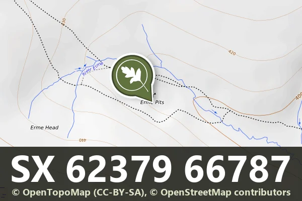
Scattered stone ruins of 19th-century tin and china clay workings on open moorland, revealing Dartmoor's industrial past.
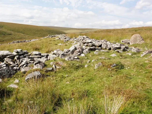
A Bronze Age livestock enclosure hidden in Dartmoor's open moorland, where ancient stone walls still define the boundaries of a prehistoric settlement.

Exeter
Photographs, stories and videos about Exeter: historic buildings and places, famous people, the decades of the twentieth century, genealogy, public art, pubs, streets, theatres and cinemas, a timeline and historic film.
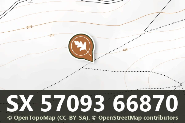
A 700 m stretch of the Eylesbarrow reave across a spur on the 320 m contour and down the north-east slope of Ringmoor Down and Gutter Tor, a bank 3 m wide with two cairns on its south side.

An 800 m stretch of the Eylesbarrow watershed reave across the top of Ringmoor Down, a bank up to 3 m wide and 0.3 m high, with three large cairns beside it and a stone row nearby.
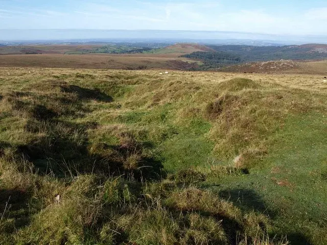
A 300 m stretch of the Eylesbarrow watershed reave running up the slope to the summit, a bank of grassed stones 3 to 5 m wide.
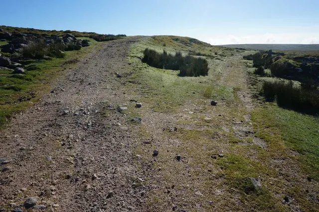
Abandoned tin mine workings on the high moor, where stone structures and shallow pools mark centuries of industrial heritage.
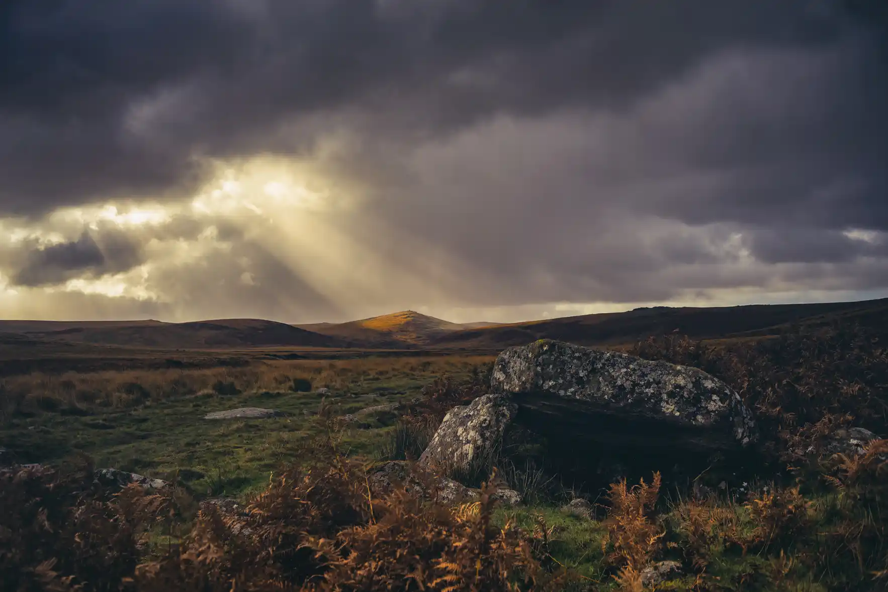
Belstone
Collapsed dolmen near Irishman's Wall above Belstone, found by Alan Endacott and named in tribute to Dartmoor people who died in the world wars.
 Photograph by Glavind Strachan Photography
“New toat, new waist-toat, new breeches; you proud, I proud; I shan't work any more!”
Also on Our DartmoorWhittenknowles Settlement — Bronze Age settlement among Dartmoor's high moorland, where ancient stone foundations still mark the hillside.
