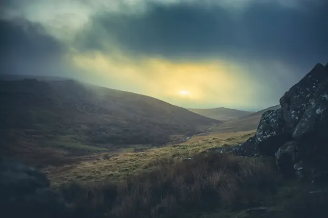
Stanlake Farmstead is a scheduled monument occupying moorland south west of Black Tor. The site preserves the footprint of a historic farm, likely dating to the medieval or early post-medieval period. Such farmsteads represent the long history of settlement and agriculture across Dartmoor, where scattered farms and hamlets have shaped the landscape for centuries.
Today the site consists of earthworks and structural remains visible across the moorland. A visit here offers insight into how people lived and worked on the moor's higher ground, and how the open landscape we see now is itself a product of centuries of human use and management. The location rewards both archaeologists and walkers interested in Dartmoor's human history.
Dartefacts is a database of Dartmoor sites with far more close-up detail than we can show here, and it is the best place to go deeper. Dartefacts is free to use, and nobody has to pay to look things up. If you want more, a yearly subscription adds 10-figure grid references, map zoom down to 1:25,000 and lists to tick off the places you have visited, and it helps keep the site going. We would encourage you to subscribe.
Our Dartmoor doesn't track you and runs no adverts. We use one cookie to make the
site work, and some pages load videos, maps or optional social media panels from other sites, the panels only if you choose to show them.