


Dartmoor quiz
What is the total length of the West Okement River?


← Browse Prehistoric Settlements · Browse the directory
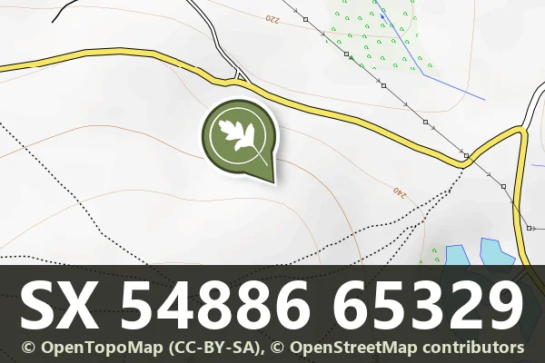
Historic England's scheduling record (list entry 1002523) describes a partly enclosed stone hut circle settlement within part of the Wigford Down coaxial field system, which forms the basis of a medieval field system, on the northern slopes of Wigford Down above the Lovaton Brook. The huts lie inside and partly within small rectangular fields of varying size, which survive as stone banks and lynchets. It lies in the parish of Meavy, about 2.2 km west of Legis Tor and 2 km south-east of Meavy.
Five standing hut circles have double upright-stone or rubble walls and range from 4 to 8 metres across inside. At least two more have been picked out as cropmarks in aerial photographs and survive as buried features. Three of the huts are surrounded by small enclosures, and the others stand free. Several medieval field boundaries use the earlier reaves: to the east the prehistoric boundaries survive most clearly, and further west they were reused in the medieval period and appear as ditched banks.
All of it lies in the newtake of Durance Farm, and in the medieval period it was part of the Buckland Abbey estate. Other remains nearby are outside this scheduling.
Sources: Historic England list entry 1002523 (updated 4 November 2015), which cites Butler, Dartmoor Atlas of Antiquities (1994), and PastScape 439087 and 439088.
Contact us if you have information about this listing
Dartefacts is a database of Dartmoor sites with far more close-up detail than we can show here, and it is the best place to go deeper. Dartefacts is free to use, and nobody has to pay to look things up. If you want more, a yearly subscription adds 10-figure grid references, map zoom down to 1:25,000 and lists to tick off the places you have visited, and it helps keep the site going. We would encourage you to subscribe.
Be the first to share a thought about Hut circle settlement south of Durance, Wigford Down.
Share a thought Plate from A Book of Dartmoor, page 103, 1900
“'I bant coming acrass the moor awl be myzel tü-night. I be aveāred ov the Jackie-twoads. I zeed scores aw'm when I went acrass Dartymoor last autumn.'”
Also on Our DartmoorVenford coaxial fields, north-east — Part of the Dartmeet coaxial field system north-east of Venford Reservoir: three parallel reaves, at least ten hut circles, and later historic fields, on a spur above the Dart.
What is the total length of the West Okement River?
Know another Dartmoor place, tor or landmark we should include? Suggest a listing, it is free.
Suggest a listing