

← Browse Tors & Landmarks · Browse the directory

Main image: Photo: Roger Cornfoot, Wikimedia Commons
Its outcrops are spread out, bisected by the Longaford Newtake, with the largest rocks to the south.
- Grid reference: SX 6195 7858 (approximate, from the listing's coordinates)
Contact us if you have information about this listing
Explore the area
Go deeper with Dartefacts
Dartefacts is a database of Dartmoor sites with far more close-up detail than we can show here, and it is the best place to go deeper. Dartefacts is free to use, and nobody has to pay to look things up. If you want more, a yearly subscription adds 10-figure grid references, map zoom down to 1:25,000 and lists to tick off the places you have visited, and it helps keep the site going. We would encourage you to subscribe.
Thoughts
Be the first to share a thought about Higher White Tor.
Share a thought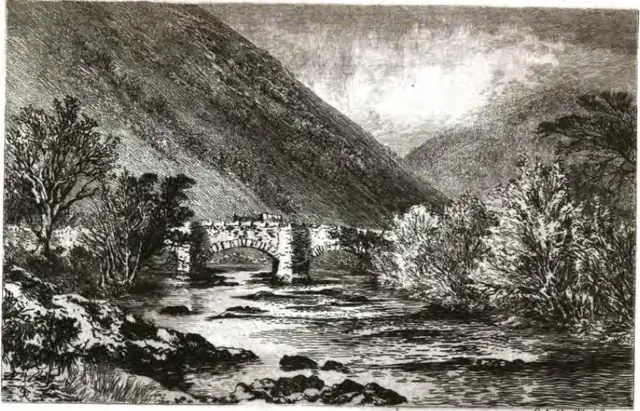 Plate from An Exploration of Dartmoor and Its Antiquities, page 232, 1889
“Pixies, too, hold a high place in the imaginations of Devonians. The villagers around Haldon and Dartmoor assert that these little people have their homes among the tors, and keep their houses spotlessly clean ; that they enjoy mad gallops at night on colts, making stirrups in their manes and ...”
Also on Our DartmoorLongtimber Tor — A large, tree-covered tor by the River Tavy, with a smaller outcrop on its banks.
Know another Dartmoor place, tor or landmark we should include? Suggest a listing, it is free.
Suggest a listing