Dartmoor quiz
What is the height of Beardown Man above ground?

← Browse Prehistoric Settlements · Browse the directory
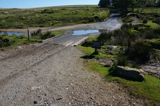
Main image: Bridge over Sheepstor Brook - 32 metres from location - image by jeff collins (CC BY-SA 2.0), via Wikimedia Commons
Contact us if you have information about this listing
Dartefacts is a database of Dartmoor sites with far more close-up detail than we can show here, and it is the best place to go deeper. Dartefacts is free to use, and nobody has to pay to look things up. If you want more, a yearly subscription adds 10-figure grid references, map zoom down to 1:25,000 and lists to tick off the places you have visited, and it helps keep the site going. We would encourage you to subscribe.
Be the first to share a thought about Enclosure.
Share a thought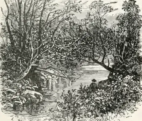 Plate from Amid Devonia's Alps, page 151, 1888
“The Gubbings land is a Scythia within England, and they be pure heathens therein... Their wealth consists in other men's goods, and they live by stealing the sheep on the More...”
Also on Our DartmoorKennon Hill — A boggy hill south of Cosdon on Throwleigh Common, with a small cairn on top and views west towards High Willhays.
What is the height of Beardown Man above ground?
Know another Dartmoor place, tor or landmark we should include? Suggest a listing, it is free.
Suggest a listing