

← Browse Bridges & Crossings · Browse the directory

Chagford Bridge
Grid ref: SX 6936 8795
On walking routes: Taw Teign Link, Two Moors Way
Main image: Photo: David Gearing, Wikimedia Commons
- Period: Medieval
- Status: Listed building (Historic England list entry 1106212)
- Grid reference: SX 6936 8795 (approximate, from the listing's coordinates)
The full official description is in the Historic England record linked above.
Contact us if you have information about this listing
Official record
Explore the area
Go deeper with Dartefacts
Dartefacts is a database of Dartmoor sites with far more close-up detail than we can show here, and it is the best place to go deeper. Dartefacts is free to use, and nobody has to pay to look things up. If you want more, a yearly subscription adds 10-figure grid references, map zoom down to 1:25,000 and lists to tick off the places you have visited, and it helps keep the site going. We would encourage you to subscribe.
Thoughts
Be the first to share a thought about Chagford Bridge.
Share a thought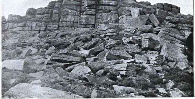 Plate from Dartmoor Illustrated, page 232, 1900
“Away to the eastward we could see the dreary brown ridges in the neighbourhood of Cranmere Pool, over which a deep stillness was brooding, and a lifeless aspect seemed to rest.”
Also on Our DartmoorLuscombe Farmhouse — A Grade II* listed farmhouse on Dartmoor, likely medieval in origin with later alterations.
Know another Dartmoor place, tor or landmark we should include? Suggest a listing, it is free.
Suggest a listing