

← Browse Historic Buildings · Browse the directory

Lowton Farmhouse
Grid ref: SX 7432 8596
On walking routes: Moretonhampstead North Bovey Circular
Main image: Photo: John Firth, Wikimedia Commons
- Period: Medieval
- Status: Listed building (Historic England list entry 1097238)
- Grid reference: SX 7432 8596 (approximate, from the listing's coordinates)
The full official description is in the Historic England record linked above.
Contact us if you have information about this listing
Official record
Explore the area
Go deeper with Dartefacts
Dartefacts is a database of Dartmoor sites with far more close-up detail than we can show here, and it is the best place to go deeper. Dartefacts is free to use, and nobody has to pay to look things up. If you want more, a yearly subscription adds 10-figure grid references, map zoom down to 1:25,000 and lists to tick off the places you have visited, and it helps keep the site going. We would encourage you to subscribe.
Thoughts
Be the first to share a thought about Lowton Farmhouse.
Share a thought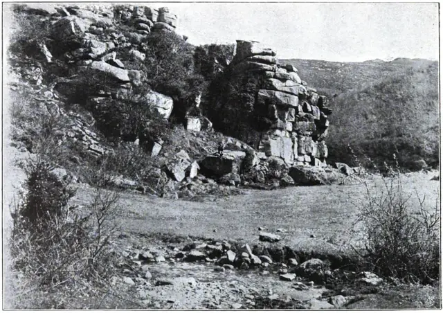 Plate from Dartmoor Illustrated, page 152, 1900
“This shaggy monster, heather-clad, with unctuous black fen rolling ten feet thick over its granite ribs, was his God.”
Also on Our DartmoorSharp Tor, Yartor Down — A giant granite cone of 384 m above the River Dart, about halfway between Dartmeet and Ponsworthy, with two stacks and views down the Dart Gorge.
Know another Dartmoor place, tor or landmark we should include? Suggest a listing, it is free.
Suggest a listing