
← Browse Stone Rows & Alignments · Browse the directory
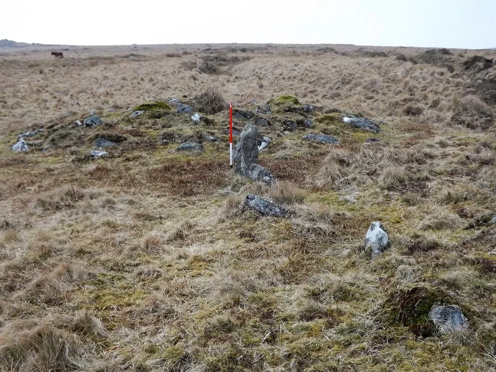
Hart Tor North stone rows
Grid ref: SX 5765 7169 Find this on the Map Reference Finder
Main image: Hart Tor, South prehistoric stone row - 34 metres from location - image by Sandy Gerrard (CC BY-SA 2.0), via Wikimedia Commons
- Period: Bronze Age
Contact us if you have information about this listing


Explore the area
Go deeper with Dartefacts
Dartefacts is a database of Dartmoor sites with far more close-up detail than we can show here, and it is the best place to go deeper. Dartefacts is free to use, and nobody has to pay to look things up. If you want more, a yearly subscription adds 10-figure grid references, map zoom down to 1:25,000 and lists to tick off the places you have visited, and it helps keep the site going. We would encourage you to subscribe.
Thoughts
Be the first to share a thought about Hart Tor North stone rows.
Share a thought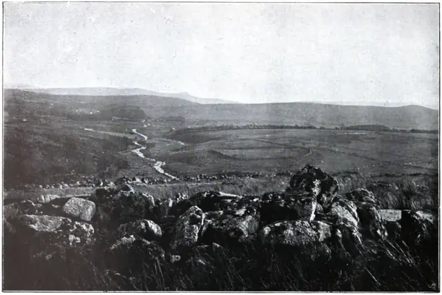 Plate from Dartmoor Illustrated, page 132, 1900
“Dartmoor soaked up this illumination like a sponge, and did not waken at its tepid touch.”
Also on Our DartmoorStephen's Grave — A granite pillar on a squared granite plinth on Peter Tavy Common, marking where John Stephens, a farm servant who took poison in October 1762, was buried at a crossway as a suicide.
Know another Dartmoor place, tor or landmark we should include? Suggest a listing, it is free.
Suggest a listing