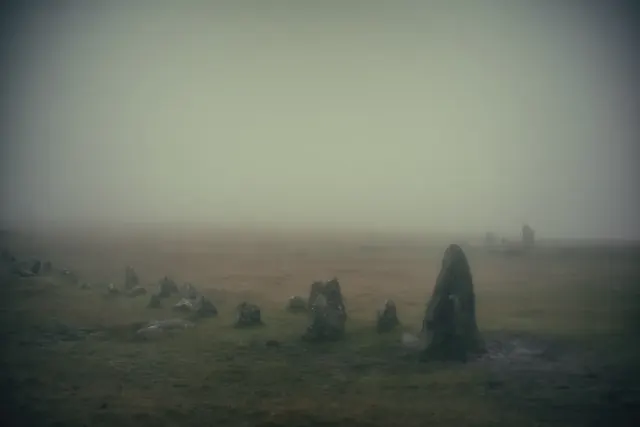
Historic England's scheduling record (list entry 1017983) describes a scattered hut circle settlement and its fields on a north-east-facing slope above the valley of the Lowton Brook. The scheduling falls into six areas. There are at least 12 huts and a number of lengths of rubble walling that belong to a field system. The huts are banks round circular spaces of 14.51 to 55.39 square metres, averaging 30.56, with walls 0.6 to 1.3 metres high, averaging 0.91. Four have visible doorways, and the upright-stone, rubble bank and coursed walling building traditions are all represented. It lies in the parish of Dartmoor Forest, about 2 km south of Thornworthy Tor.
Sources: Historic England list entry 1017983, which cites Devon County Sites and Monuments Register records (SX68SE22, 23, 26, 26.1, 28 and 35, among others) and fieldwork for the Monuments Protection Programme by S. Gerrard (1997).
Period: Bronze Age
Status: Scheduled monument (Historic England list entry 1017983)
Grid reference: SX 6629 8318 (approximate, from the listing's coordinates)
Dartefacts is a database of Dartmoor sites with far more close-up detail than we can show here, and it is the best place to go deeper. Dartefacts is free to use, and nobody has to pay to look things up. If you want more, a yearly subscription adds 10-figure grid references, map zoom down to 1:25,000 and lists to tick off the places you have visited, and it helps keep the site going. We would encourage you to subscribe.
“It is a vast solitude. Save the convict settlement of Princetown and a few scattered cottages abutting on the roads which cross the central district, scarce a human habitation greets the eye... the traveller may walk from the outskirts of Princetown to Okehampton — a good fifteen miles — without ...”
Also on Our DartmoorLower Merripit Farmhouse — A Grade II* listed farmhouse on the edge of Dartmoor, likely medieval in origin with later modifications.
Dartmoor quizPhotograph by Glavind Strachan Photography
Which Dartmoor place is this?
Know another Dartmoor place, tor or landmark we should include? Suggest a listing, it is free.
Our Dartmoor doesn't track you and runs no adverts. We use one cookie to make the
site work, and some pages load videos, maps or optional social media panels from other sites, the panels only if you choose to show them.



 Photograph by Glavind Strachan Photography
