

← Browse Bridges & Crossings · Browse the directory
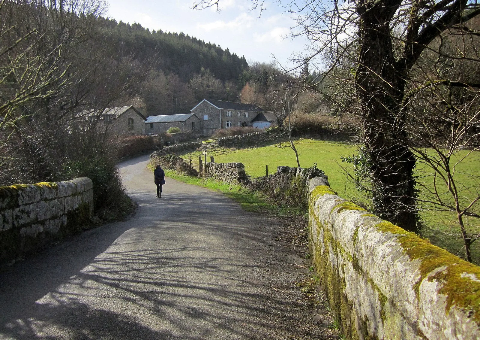
Main image: Lane at Clifford Bridge. Photograph: Derek Harper.
- River: Teign, at the foot of the gorge, on the Moretonhampstead and Dunsford boundary
- Grid reference: SX 780 897
- Date: 17th century or earlier; widened on both sides in the mid 19th century
- Built of: granite, three spans, narrow round arches widened in ashlar
- Designation: Grade II, Historic England list entry 1146710 (listed 23 August 1955)
Clifford Bridge is mentioned by Leland. The listing says 17th century or earlier and does not call it medieval. The 1870 guide thinks the scenery very fine and characteristic but not so bold and grand as at Fingle. It carries the minor road between Tedburn St Mary and Mardon Down.
The gorge runs from here to Fingle Bridge and Steps Bridge. Wooston Castle is about two miles away by an old guide's reckoning.
Sources: Historic England list entry 1146710; Treks and Tors, Clifford Bridge; W. Crossing, Guide to Dartmoor (1914).
This bridge is one of the crossings gathered in Dartmoor Bridges, a guide to the clapper bridges, packhorse bridges and road bridges of the moor and its edge.
Suggest an edit to this listing
Contact us if you have information about this listing
Official record
Explore the area
Go deeper with Dartefacts
Dartefacts is a database of Dartmoor sites with far more close-up detail than we can show here, and it is the best place to go deeper. Dartefacts is free to use, and nobody has to pay to look things up. If you want more, a yearly subscription adds 10-figure grid references, map zoom down to 1:25,000 and lists to tick off the places you have visited, and it helps keep the site going. We would encourage you to subscribe.
Thoughts
Be the first to share a thought about Clifford Bridge.
Share a thought Photograph by Glavind Strachan Photography
“But this was only an illusion; a small hillock, on rather higher ground, sometimes but a few yards distant, being the object to which the treacherous mist had given the appearance of a hill.”
Also on Our DartmoorKerbed cairn west of Legis Lake — A grass-covered cairn 8 m across and 0.3 m high with five kerb stones, west of Legis Lake, within 100 m of a stone circle.
Know another Dartmoor place, tor or landmark we should include? Suggest a listing, it is free.
Suggest a listing