

← Browse Prehistoric Settlements · Browse the directory
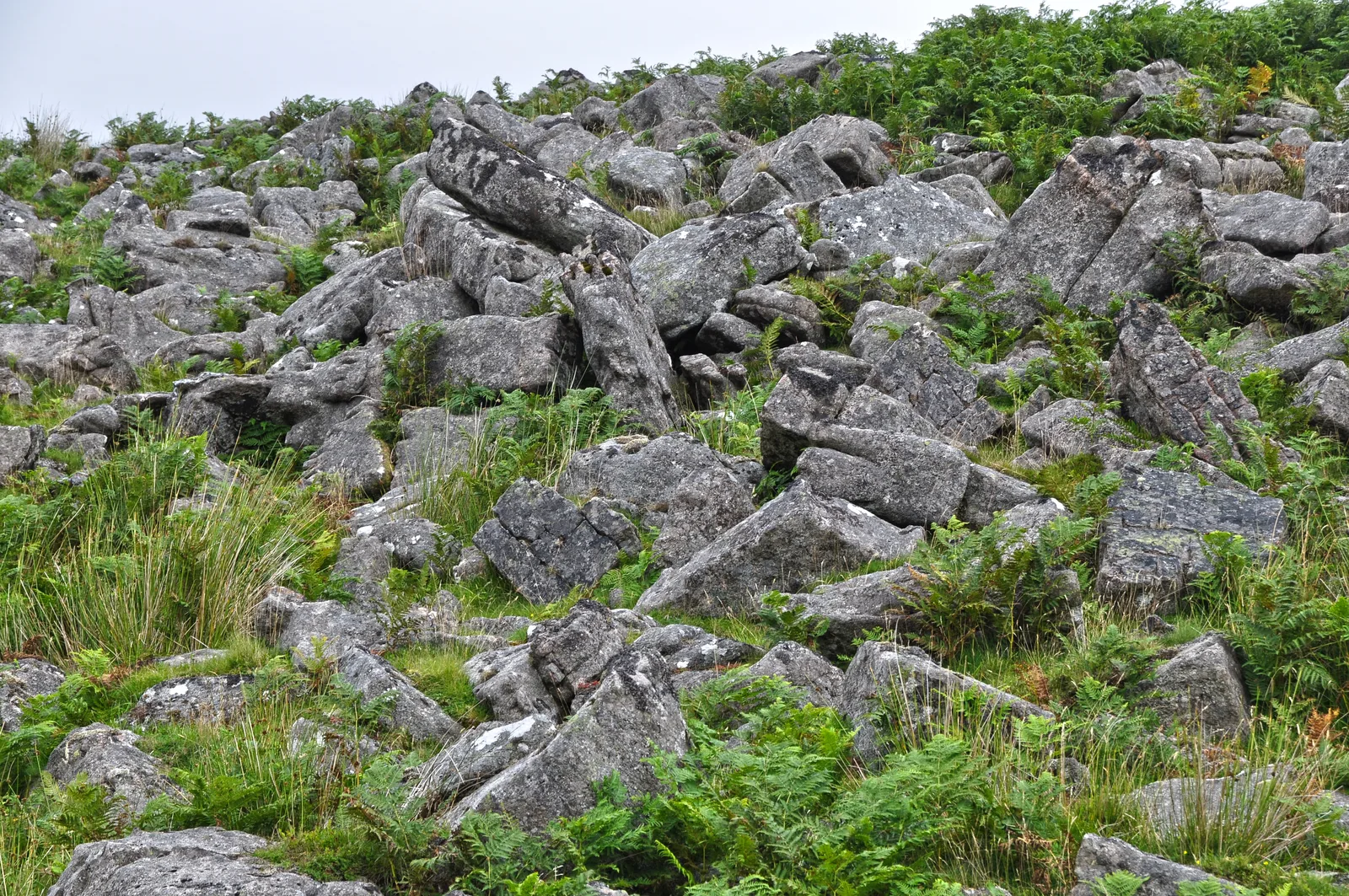
Main image: West Devon, Dartmoor Scenery - 18 metres from location - image by Lewis Clarke (CC BY-SA 2.0), via Wikimedia Commons
Historic England's scheduling record (list entry 1011562) describes a stone hut circle in an area of clitter on a south-facing slope above the valley of the River Tavy, part of the large unenclosed Watern Oke settlement. It is a stone and earth wall 1.1 metres wide and 0.4 metres high around a circular space 3.2 metres across. The Dartmoor Exploration Committee did not excavate or survey it. It lies in the parish of Dartmoor Forest, about 1.7 km east of Ger Tor.
Sources: Historic England list entry 1011562, which cites Anderson, 'Hut Circle Settlement at Watern Oke' (Devonshire Association Transactions, vol 38, 1906), pages 101 to 113, and Gibson, Single Monument Class Description: Stone Hut Circles (1987).
- Period: Bronze Age
- Status: Scheduled monument (Historic England list entry 1011562)
- Grid reference: SX 5640 8349 (approximate, from the listing's coordinates)
Historic England listed designation: A small stone hut circle forming part of the unenclosed stone hut circle settlement at Watern Oke
Contact us if you have information about this listing

Official record
Explore the area
Go deeper with Dartefacts
Dartefacts is a database of Dartmoor sites with far more close-up detail than we can show here, and it is the best place to go deeper. Dartefacts is free to use, and nobody has to pay to look things up. If you want more, a yearly subscription adds 10-figure grid references, map zoom down to 1:25,000 and lists to tick off the places you have visited, and it helps keep the site going. We would encourage you to subscribe.
More Dartmoor resources
Thoughts
Be the first to share a thought about Watern Oke: small hut circle.
Share a thoughtKnow another Dartmoor place, tor or landmark we should include? Suggest a listing, it is free.
Suggest a listing