Photo © Derek Harper, CC BY-SA 2.0, via Wikimedia Commons
Harford
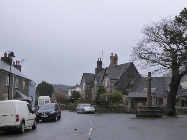
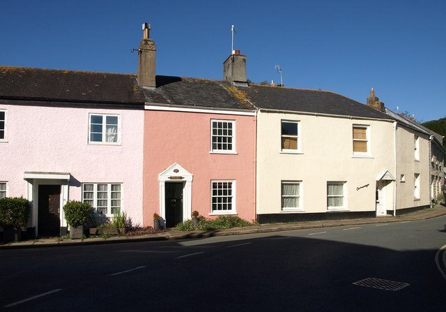
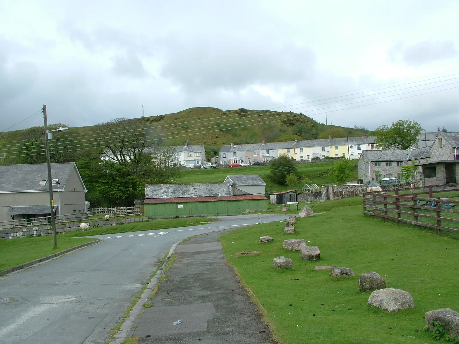
Harford is a hamlet and civil parish about 2 miles north of Ivybridge, in the South Hams, on the River Erme. It had 77 residents at the 2001 census, the smallest civil parish in the South Hams by population. Domesday in 1086 has it as Hereford, with 14 households.
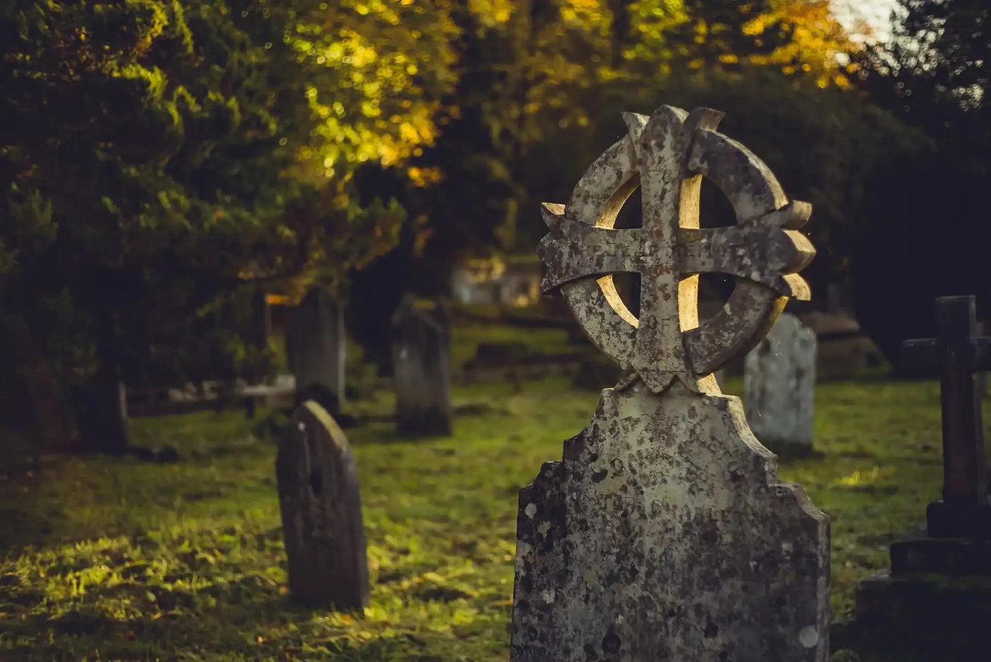
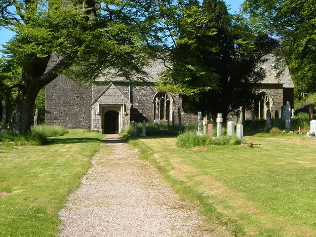
The church of St Petroc is Grade I listed, mainly late 15th or early 16th century, and seats about 200. The first rector was instituted in 1262. In 1555 it was dedicated to St George the Martyr and by the 1700s to St Petroc, one of three Dartmoor churches with that dedication (the others are South Brent and Lydford). A brass records Thomas Williams, Speaker of the House of Commons in 1563. A restoration ran from 1875 to 1879, with Ivybridge contractors Cornish and Dyer doing the work for about £800.
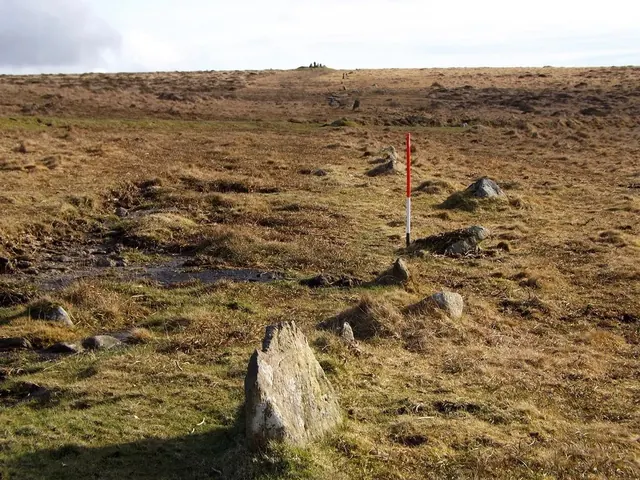
Part of what is now Ivybridge once lay in Harford. The parish of St John's was formed in 1836 and renamed the parish of Ivybridge in 1894. On the moor, Hobajohn's Cross is a natural stone a little over 1.2 metres high, probably the end stone of the Butterdon Bronze Age stone row, with cup marks and a Latin cross cut on its south-western face. It was used as a Harford and Ugborough boundary marker after a dispute between Humphrey Savery of Stowford and Thomas Lane of Cofleet in 1782 to 1784. Where the name Hobajohn comes from is not known.
Harford on the map
In Harford
Butterdon Hill (Harford)
Harford, Ivybridge
Butterdon Hill, 366 m, above Harford on south Dartmoor: large summit cairns and the start of the 2 km Butterdon stone row.

Hall Farm
Harford, Ivybridge
Farm producing raw milk, yogurts and beef from pasture-fed Jersey cows, working in harmony with the land.
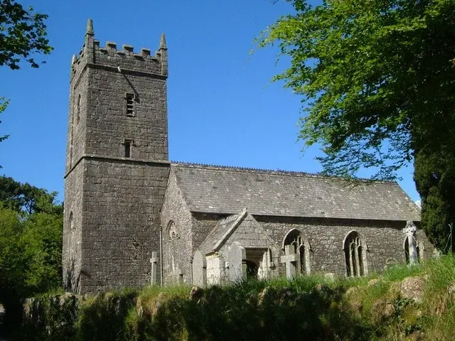
Harford Parish Meeting
Harford, Ivybridge
Harford's parish meeting, serving Devon's smallest South Hams parish near Ivybridge.

River Erme
Harford
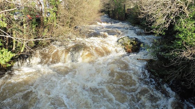
The Erme is a river in south Devon, England. From its source on Dartmoor it flows in a generally southerly direction past some of the best-preserved archaeological remains on the moor. It leaves the moor at the town of Ivybridge and
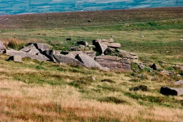
Sharp Tor, Harford Moor
Harford, Ivybridge
A granite tor on a spur above the Erme valley, 6 km north of Ivybridge, dropping almost sheer to Piles Copse, with views to Plymouth and the South Hams.
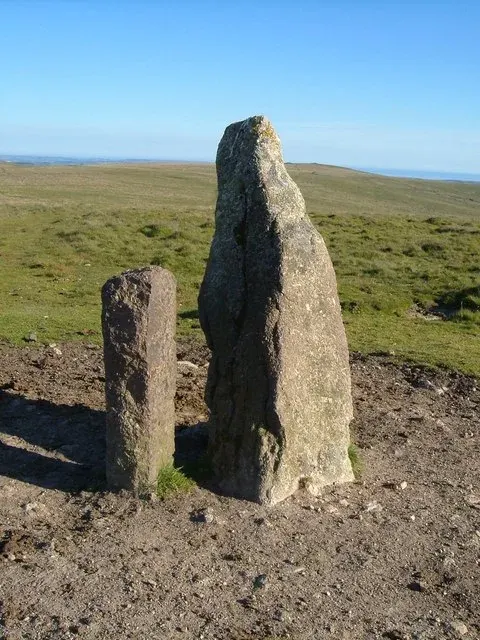
The Longstone, Piles Hill
Harford, Ivybridge
A coarse pink granite stone at the northern end of the Butterdon Hill stone row on Piles Hill, near South Brent, with an 1803 boundary stone beside it.
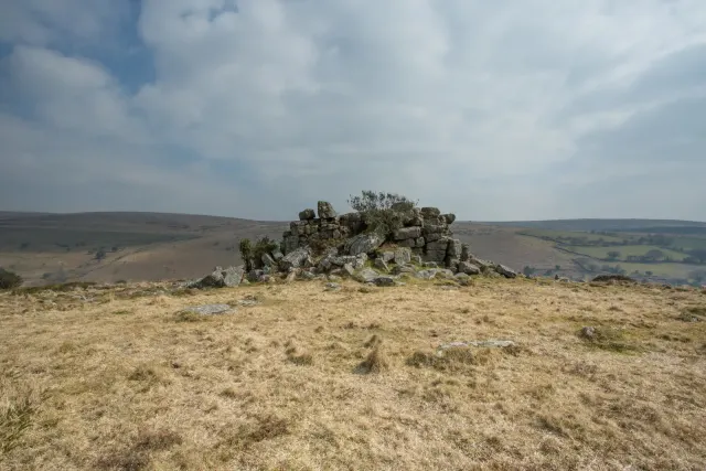
Tristis Rock
Harford
Tristis Rock, also known as Hall Tor, stands as a striking granite outcrop near Harford. Perched above the River Erme, it offers a commanding view of the surrounding landscape, including Stalldon and other nearby tors.