Photo © Tony Atkin, CC BY-SA 2.0, via Wikimedia Commons
Bittaford
Bittaford is a village in Ugborough civil parish, South Hams, Devon, about a mile from Ugborough village. The parish website puts it on the southern edge of Dartmoor within the National Park. The Domesday Book records it as Bradeforda, held by Reginald de Valletorta. It appears on the 1842 tithe map.
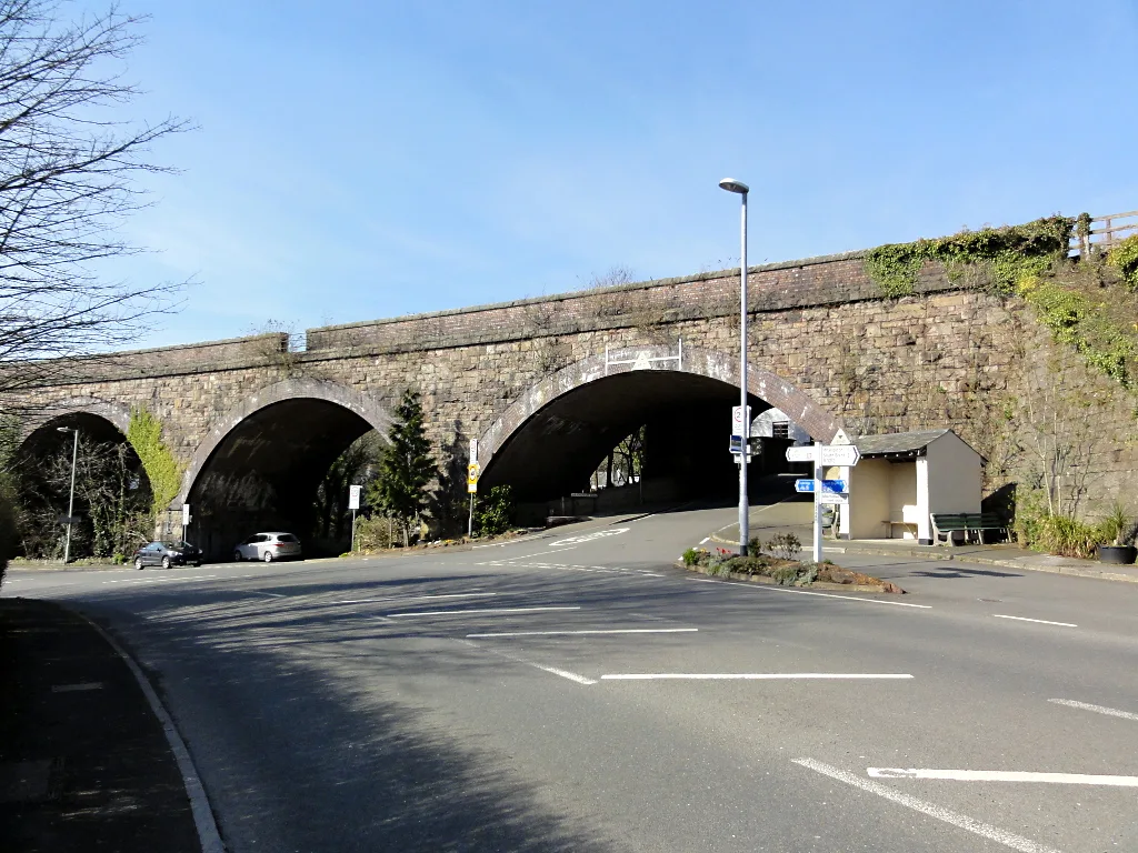
A stone railway viaduct divides the village in two. It replaced Brunel's timber viaduct on the South Devon Railway, which opened to Plymouth in 1848 across Ugborough parish. Bittaford station did not open until 1907 and closed in 1959, the same year as Wrangaton. Soon after 1819 the Plymouth Turnpike Trust built a new road between Bittaford and South Brent, and the toll house built at Bittaford to collect the charges still stands. That road became the old A38, which the dual carriageway replaced in 1974.
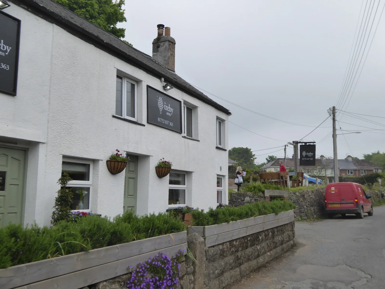
The Horse and Groom pub is near the viaduct. Bittaford Methodist Chapel on Wrangaton Road is recorded as built in 1874, and Methodist services are still held in the village. The village also has a community hall.
No census population for Bittaford alone was found.
Bittaford on the map
In Bittaford
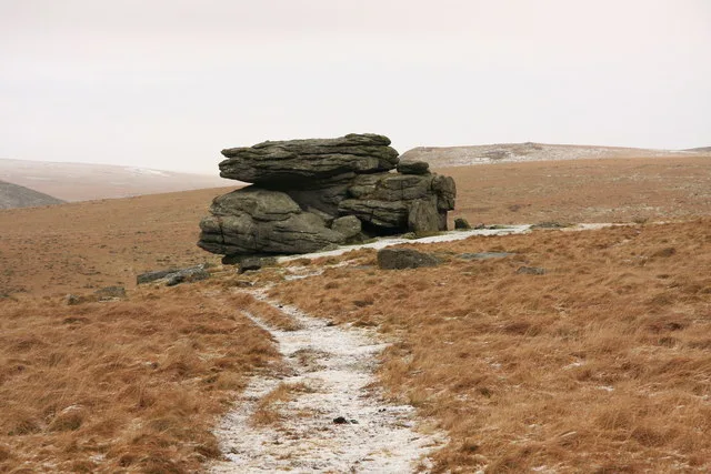
Hangershell Rock
Bittaford
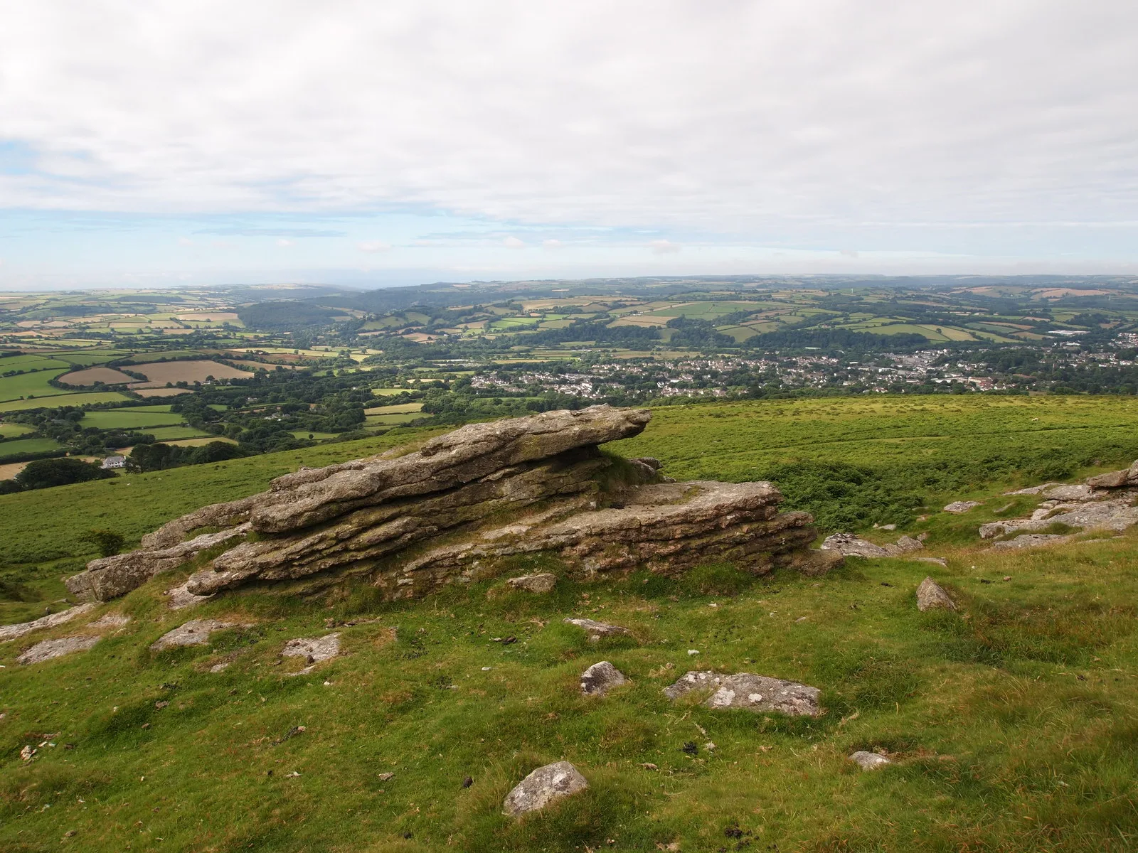
Hangershell Rock, a small tor on Harford Moor, stands out as a unique feature on what initially appears to be a long, featureless ridge.
Western Beacon
Bittaford
Western Beacon, also known locally as Cantrel Hill, is the southernmost peak within Dartmoor National Park. Standing at 334 metres, it offers expansive views of the South Hams and the English Channel.