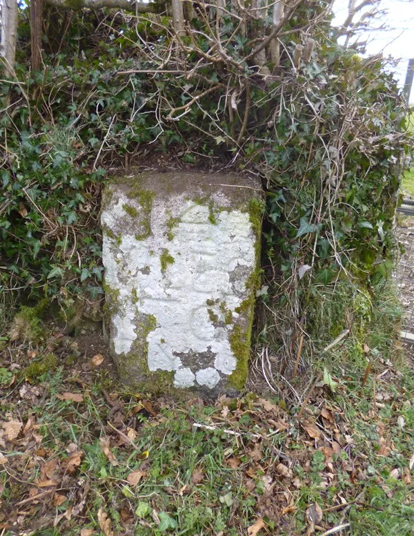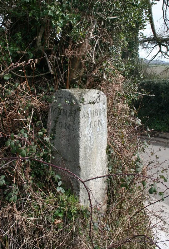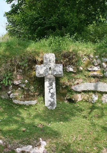
Cross at north corner of crossroads about near Dockwell Farmhouse
Jordan, Ashburton
A wayside cross marking the north corner of a crossroads deep in Dartmoor's moorland landscape.
Showing listings tagged “Listed Building” Show all listings
Jordan, Ashburton
A wayside cross marking the north corner of a crossroads deep in Dartmoor's moorland landscape.
Belstone, Okehampton
A holy well on the open moor, likely medieval or earlier in origin, marking a place of water and spiritual significance.
Challacombe, Chagford
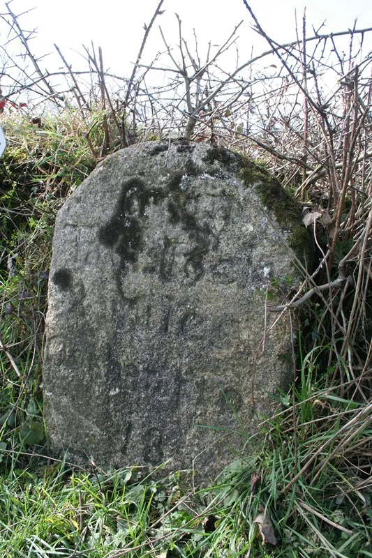
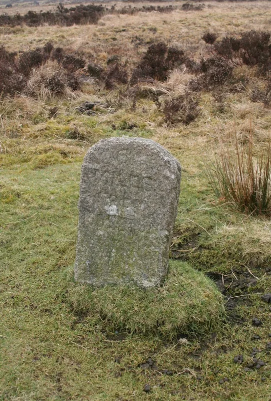
A weathered roadside milestone marking distance on the high moor, typical of routes crossing Dartmoor from the 18th or 19th century.
Peter Tavy, Tavistock
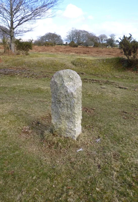
A stone milestone marking a route across the open moor, likely from the 18th or 19th century.
Moretonhampstead
Moretonhampstead's community library, housed in the Grade II listed Bowring Building given to the town in 1902 by shipping magnate Sir Thomas Bowring.
Leetown, Tavistock
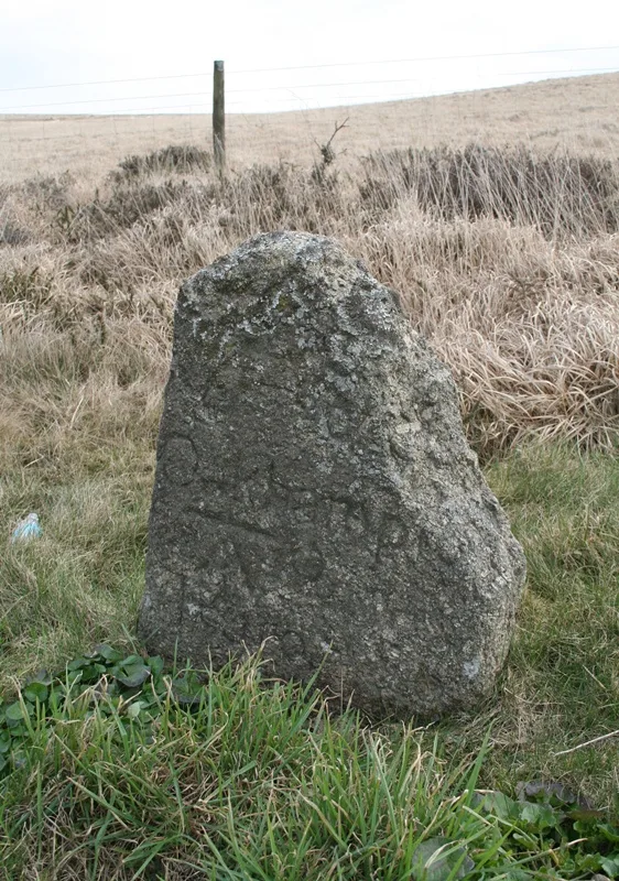
A boundary marker stone on the open moor, marking the historic limits of land ownership or administrative division.
Lane End, Tavistock
A roadside milestone marking distance and direction on the open moor, likely dating from the turnpike era.
Moorshop, Tavistock
A modest stone milestone marking distance and route on the open moor, typical of Dartmoor's network of travelling aids.
Trumpeter, Bovey Tracey
A stone direction post marking the junction of the lane from Ilsington Methodist Church and the route to Lewthorn Crossroads.