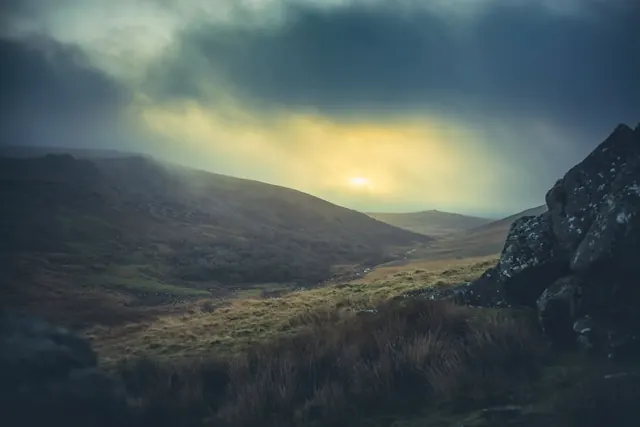
This scheduled monument is a hut circle settlement dating to the Bronze Age, when farming communities established themselves across Dartmoor's moorland. The site consists of the remains of stone-built roundhouses, their foundations and walls still visible in the landscape today. Such settlements are common across the moor and represent a significant period of prehistoric occupation and land use.
The site lies on the moorland south-west of Deadlake Foot in an area rich with archaeological evidence. Walking across this stretch of Dartmoor, visitors encounter the physical traces of people who lived and worked here thousands of years ago, building homes and working the land in ways that shaped the moor's character and appearance.
Dartefacts is a database of Dartmoor sites with far more close-up detail than we can show here, and it is the best place to go deeper. Dartefacts is free to use, and nobody has to pay to look things up. If you want more, a yearly subscription adds 10-figure grid references, map zoom down to 1:25,000 and lists to tick off the places you have visited, and it helps keep the site going. We would encourage you to subscribe.
Our Dartmoor doesn't track you and runs no adverts. We use one cookie to make the
site work, and some pages load videos, maps or optional social media panels from other sites, the panels only if you choose to show them.