

Dartmoor quiz
What Dartmoor tor is sometimes known as "East Okement Farm Tor"?


← Browse Stone Rows & Alignments · Browse the directory
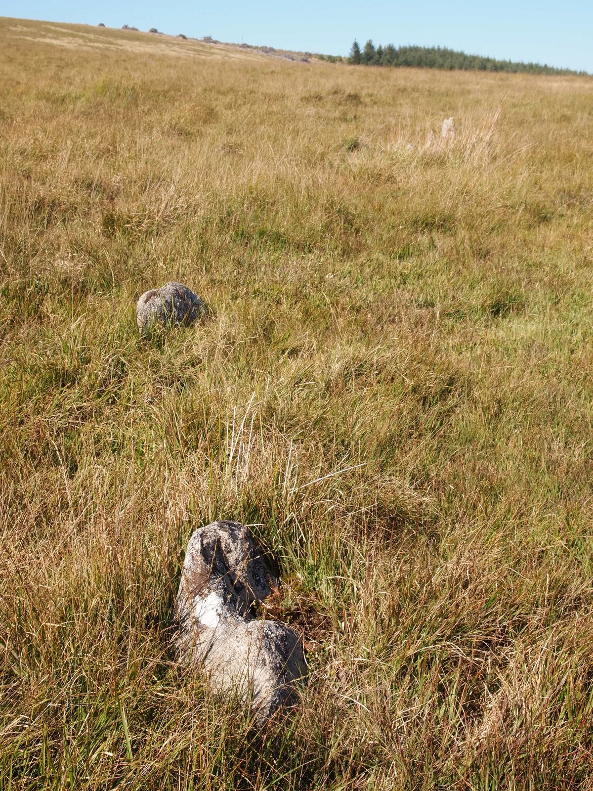
Main image: Stone Row Below White Ridge - 29 metres from location - image by Chris Andrews (CC BY-SA 2.0), via Wikimedia Commons
This Bronze Age monument comprises a stone alignment and cairn situated on Dartmoor's high open ground, east of the source of Stannon Brook. The alignment and cairn date to the prehistoric period when this landscape was actively used for ceremonial and burial purposes, and they form part of the dense scatter of similar monuments across the moor.
Today the site stands among rough moorland and heather, characteristic of Dartmoor's upland terrain. The stones remain largely as they have for thousands of years, weathered and sometimes obscured by vegetation. Walking this part of the moor reveals how these monuments sit within a wider Bronze Age landscape, their positioning meaningful to people whose world was structured very differently from our own.
Contact us if you have information about this listing
Dartefacts is a database of Dartmoor sites with far more close-up detail than we can show here, and it is the best place to go deeper. Dartefacts is free to use, and nobody has to pay to look things up. If you want more, a yearly subscription adds 10-figure grid references, map zoom down to 1:25,000 and lists to tick off the places you have visited, and it helps keep the site going. We would encourage you to subscribe.
Be the first to share a thought about Stone alignment near Stannon Brook source.
Share a thoughtWhat Dartmoor tor is sometimes known as "East Okement Farm Tor"?
Know another Dartmoor place, tor or landmark we should include? Suggest a listing, it is free.
Suggest a listing