Skip to content

← Browse Industrial Archaeology · Browse the directory

Industrial Archaeology

Mine (dis)

Grid ref: SX 5151 8619 Find this on the Map Reference Finder

On walking routes: West Devon Way

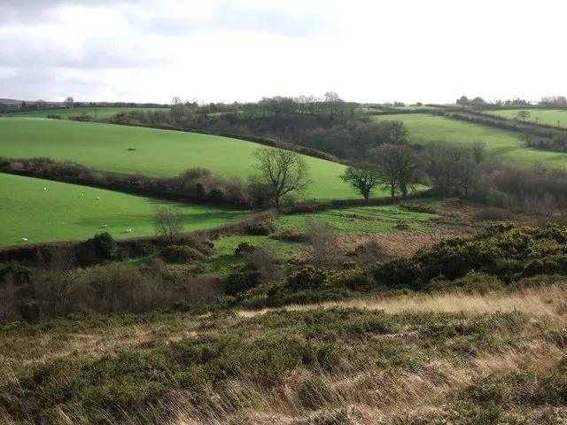
Main image: Valley between Fernworthy and Battishill Downs ^2 - 37 metres from location - image by Derek Harper (CC BY-SA 2.0), via Wikimedia Commons

Share

Contact us if you have information about this listing

Go deeper with Dartefacts

Dartefacts is a database of Dartmoor sites with far more close-up detail than we can show here, and it is the best place to go deeper. Dartefacts is free to use, and nobody has to pay to look things up. If you want more, a yearly subscription adds 10-figure grid references, map zoom down to 1:25,000 and lists to tick off the places you have visited, and it helps keep the site going. We would encourage you to subscribe.

Thoughts

Be the first to share a thought about Mine (dis).

Share a thought
Dartmoor quiz
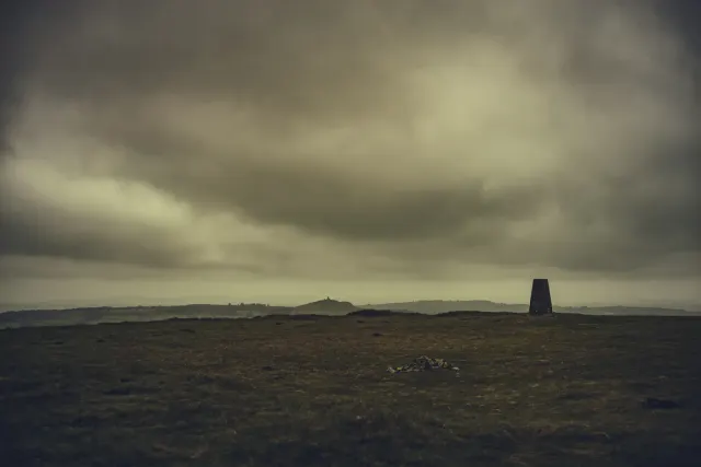
A photograph of a place on Dartmoor; the question asks which
Photograph by Glavind Strachan Photography

Which Dartmoor place is this?

Gibbet Hill. A hill with a grim past, marked by the remains of a gibbet where highwaymen were once displayed.

Worth a visit

Know another Dartmoor place, tor or landmark we should include? Suggest a listing, it is free.

Suggest a listing