

← Browse Cairns & Barrows · Browse the directory

Main image: Photo: don cload, Wikimedia Commons
Historic England's scheduling record (list entry 1003296) describes five cairns on Hamel Down that form part of a cemetery of at least nine. The scheduling falls in four areas. It lies across the parishes of Widecombe in the Moor and Manaton, about 1 km south of Hameldown Tor and 1.2 km east of Challacombe.
The northernmost is a circular earth and stone mound 40 metres across and up to 2 metres high with a slightly hollowed centre, with a boundary stone on top marked Broad Burrow. To the south, the second is a circular stony mound 21.5 metres across and up to 1 metre high that carries a boundary stone marked Single Burrow. Bate and Rowe partly excavated it in 1873 and found a stone kerb, a small central cairn, and some cremated bone mixed with charcoal, with a flint flake 2 metres to the south-east of the central feature.
Further south are two more cairns. The northern of the two is a circular stony mound 17 metres across and up to 1.4 metres high with a boundary stone marked Two Burrows. Bate excavated it in 1872 and found a central cairn covered by five stone slabs and, nearby, a dagger with an amber-studded pommel. Four metres to the south is a circular cairn 11.5 metres across and 1 metre high, crossed by a granite boundary wall. The southernmost is a circular flat-topped mound 13 metres across and 1 metre high, with a shallow central hollow, inside the Blackaton Down newtake. Some cairns of the cemetery are protected by separate schedulings, and others are not because they have not been formally assessed.
Sources: Historic England list entry 1003296 (updated 5 November 2015), which cites Butler, Dartmoor Atlas of Antiquities, vol 1 (1991), page 148, and PastScape 445043, 445080, 445083 and 445086.
- Period: Bronze Age
- Status: Scheduled monument (Historic England list entry 1003296)
- Grid reference: SX 7059 7964 (approximate, from the listing's coordinates)
Contact us if you have information about this listing
Official record
Explore the area
Go deeper with Dartefacts
Dartefacts is a database of Dartmoor sites with far more close-up detail than we can show here, and it is the best place to go deeper. Dartefacts is free to use, and nobody has to pay to look things up. If you want more, a yearly subscription adds 10-figure grid references, map zoom down to 1:25,000 and lists to tick off the places you have visited, and it helps keep the site going. We would encourage you to subscribe.
More Dartmoor resources
Thoughts
Be the first to share a thought about Five barrows on Hamel Down.
Share a thought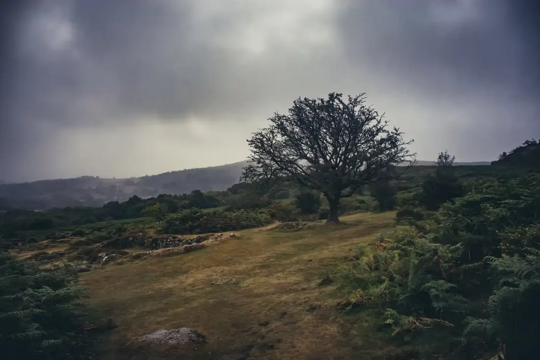 Medieval Village near Hound Tor. Photograph by Glavind Strachan Photography
“But nothing so natural, gentle reader; for when one gets into a Dartmoor mist there is no saying whither he may wander.”
Also on Our DartmoorBishops House — Medieval listed building on Dartmoor. Historic England list entry 1147239.
Know another Dartmoor place, tor or landmark we should include? Suggest a listing, it is free.
Suggest a listing