

← Browse Tors & Landmarks · Browse the directory

Eastern White Barrow
Grid ref: SX 6654 6516
On walking routes: Abbot's Way, Two Moors Way
Main image: Photo: Own Herby talk thyme, Wikimedia Commons
The best approach is to park at Shipley Bridge and walk up over Black Tor and Brent Moor. Views stretch north to Redlake and south over the South Hams.
- Period: Bronze Age
- Grid reference: SX 6654 6516 (approximate, from the listing's coordinates)
Contact us if you have information about this listing
Explore the area
Go deeper with Dartefacts
Dartefacts is a database of Dartmoor sites with far more close-up detail than we can show here, and it is the best place to go deeper. Dartefacts is free to use, and nobody has to pay to look things up. If you want more, a yearly subscription adds 10-figure grid references, map zoom down to 1:25,000 and lists to tick off the places you have visited, and it helps keep the site going. We would encourage you to subscribe.
Thoughts
Be the first to share a thought about Eastern White Barrow.
Share a thought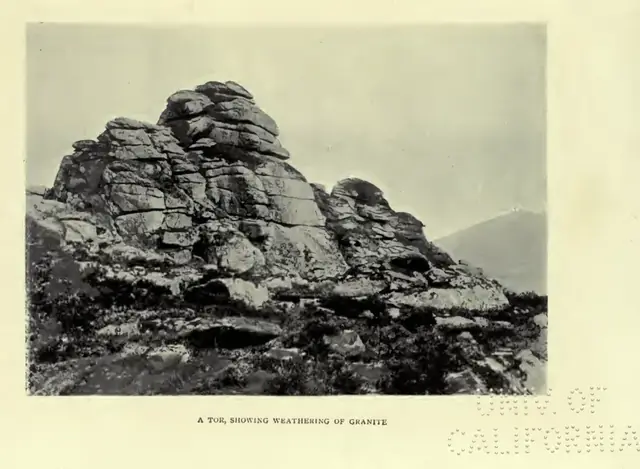 Plate from A Book of Dartmoor, page 37, 1900
“Therefore the little river divides and leaps and tumbles foaming over the mossy granite, or creeps beneath the boulders by invisible ways.”
Also on Our DartmoorEnclosed hut circle settlement, Giant's Hill — Bronze Age settlement of stone hut circles and cairns on the slopes of Giant's Hill, a scheduled monument on Dartmoor.
Know another Dartmoor place, tor or landmark we should include? Suggest a listing, it is free.
Suggest a listing