

Dartmoor quiz
Which Dartmoor place has also been known as "Big Tip"?


← Browse Hillforts & Earthworks · Browse the directory
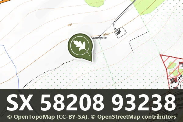
Grid ref: SX 5820 9323
On walking routes: West Devon Way
Historic England's scheduling record (list entry 1004602) describes two joined enclosures and the remains of a building close to the summit of a north-facing ridge that forms the southern side of the West Okement valley. The larger enclosure lies to the south, an irregular area up to 102 metres long by 42 metres wide, ringed by a substantial bank and a construction ditch up to 12 metres wide. A low bank divides it, and next to that bank are rubble banks up to 1.8 metres wide that mark a building 21.6 metres long by 16.9 metres wide. Pieces of dressed stone inside it may once have belonged to a window or door. It lies in the parish of Okehampton Hamlets, about 2.3 km north of West Mill Tor.
The smaller enclosure joins the larger on the north and east. Its northern boundary is a winding bank 72 metres long, widening at the east end from 1.8 to 4 metres.
The site belongs to a scattered group of settlements in what is called Okehampton Park. At least eight settlements are known on the land that Hugh de Courtenay cleared for the park about 1300, and excavation in the 1970s at one of them suggests they were founded in the first half of the 12th century. The tithe map marks the larger enclosure as a 'hospital', the Ordnance Survey six-inch map shows it as the site of a chapel, and it has traditionally been called a hermitage.
Sources: Historic England list entry 1004602 (updated 19 October 2015), which cites PastScape 440846 and 1388145, David Austin's excavation report on Okehampton Deer Park (Devon Archaeological Society Proceedings 36, 1978) and Austin and others, 'Farms and fields in Okehampton Park' (Landscape History 2, 1980).
Contact us if you have information about this listing
Dartefacts is a database of Dartmoor sites with far more close-up detail than we can show here, and it is the best place to go deeper. Dartefacts is free to use, and nobody has to pay to look things up. If you want more, a yearly subscription adds 10-figure grid references, map zoom down to 1:25,000 and lists to tick off the places you have visited, and it helps keep the site going. We would encourage you to subscribe.
Be the first to share a thought about Medieval enclosures and building in Okehampton Park.
Share a thoughtWhich Dartmoor place has also been known as "Big Tip"?
Know another Dartmoor place, tor or landmark we should include? Suggest a listing, it is free.
Suggest a listing