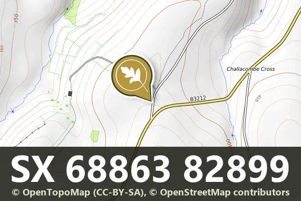
This stone sits at grid reference SX 688 829, on open moorland where such markers remain among the clearest surviving records of how the moor was divided and managed over centuries.
Status: Listed building (Historic England list entry 1326017)
Grid reference: SX 6886 8289 (approximate, from the listing's coordinates)
The full official description is in the Historic England record linked above.
Historic England listed designation: Boundary Stone at SX 688 829
Dartefacts is a database of Dartmoor sites with far more close-up detail than we can show here, and it is the best place to go deeper. Dartefacts is free to use, and nobody has to pay to look things up. If you want more, a yearly subscription adds 10-figure grid references, map zoom down to 1:25,000 and lists to tick off the places you have visited, and it helps keep the site going. We would encourage you to subscribe.
Our Dartmoor doesn't track you and runs no adverts. We use one cookie to make the
site work, and some pages load videos, maps or optional social media panels from other sites, the panels only if you choose to show them.