
Skip to content

Our Dartmoor Directory

Share
Templer Way
Walking Routes

Templer Way

Haytor Vale, Bovey Tracey

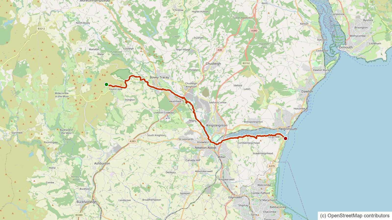
The Templer Way follows the old granite trade route from the Haytor quarries down off the moor to the sea at Teignmouth.
Two Moors Way
Walking Routes

Two Moors Way

Ivybridge

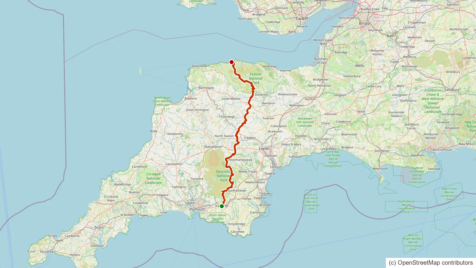
The Two Moors Way is Devon's coast to coast walk, running from Ivybridge on the southern edge of Dartmoor across the high moor and on to Lynmouth on the north Devon coast.

The Lichway
Walking Routes

The Lichway

Lydford

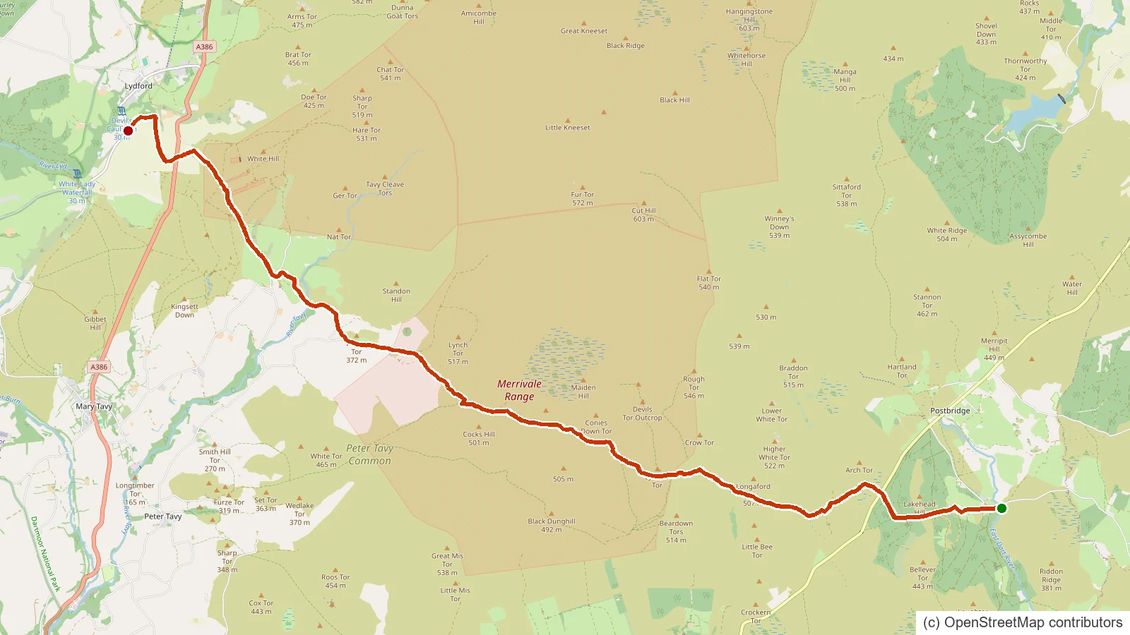
The Lich Way is Dartmoor's old 'way of the dead', the corpse road along which moorland families once carried their dead to burial at Lydford.

Erme-Plym Trail
Walking Routes

Erme-Plym Trail

Ivybridge

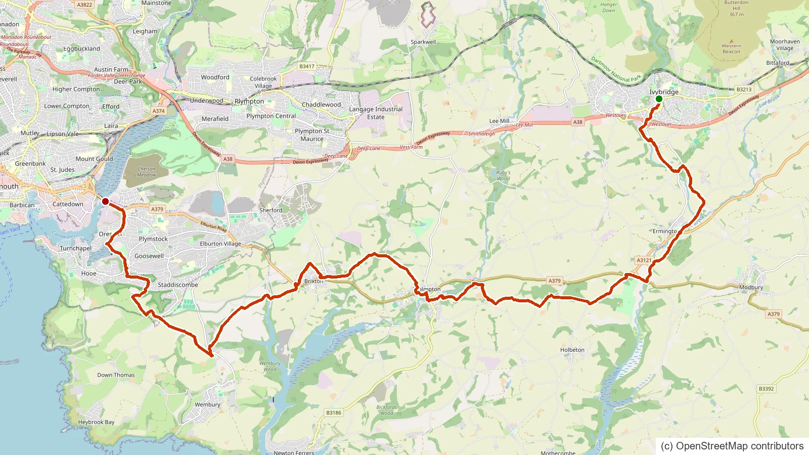
The Erme-Plym Trail is a short coast to countryside route linking the Devon coast with Ivybridge through the Erme and Plym valleys.

Strane River
Rivers & Waterways

Strane River

Dartmoor Forest

A short moorland river on the southern moor that flows down to join the River Swincombe near Foxtor Mires, part of the tangle of headwaters above Hexworthy.

Steeperton Brook
Rivers & Waterways

Steeperton Brook

Dartmoor Forest

A remote northern moor brook rising below Steeperton Tor and running down through Taw Marsh to join the young River Taw, deep in the Okehampton range.

South Teign River
Rivers & Waterways

South Teign River

Chagford

The southern headwater of the River Teign, rising near Sittaford Tor, flowing through Fernworthy Forest and Reservoir before joining the North Teign near Chagford.

Black-a-ven Brook
Rivers & Waterways

Black-a-ven Brook

Dartmoor Forest

A short northern moor brook flowing down from below East Mill Tor to join the East Okement River at Cullever Steps, a well-known ford and crossing near Belstone.

Red-a-ven Brook
Rivers & Waterways

Red-a-ven Brook

Okehampton Hamlets

A northern moor brook rising below High Willhays, the highest ground in southern England, and running down between the tors of the Okehampton range to meet the West Okement near Meldon.