

← Browse Dartmoor Walking Routes · Browse the directory
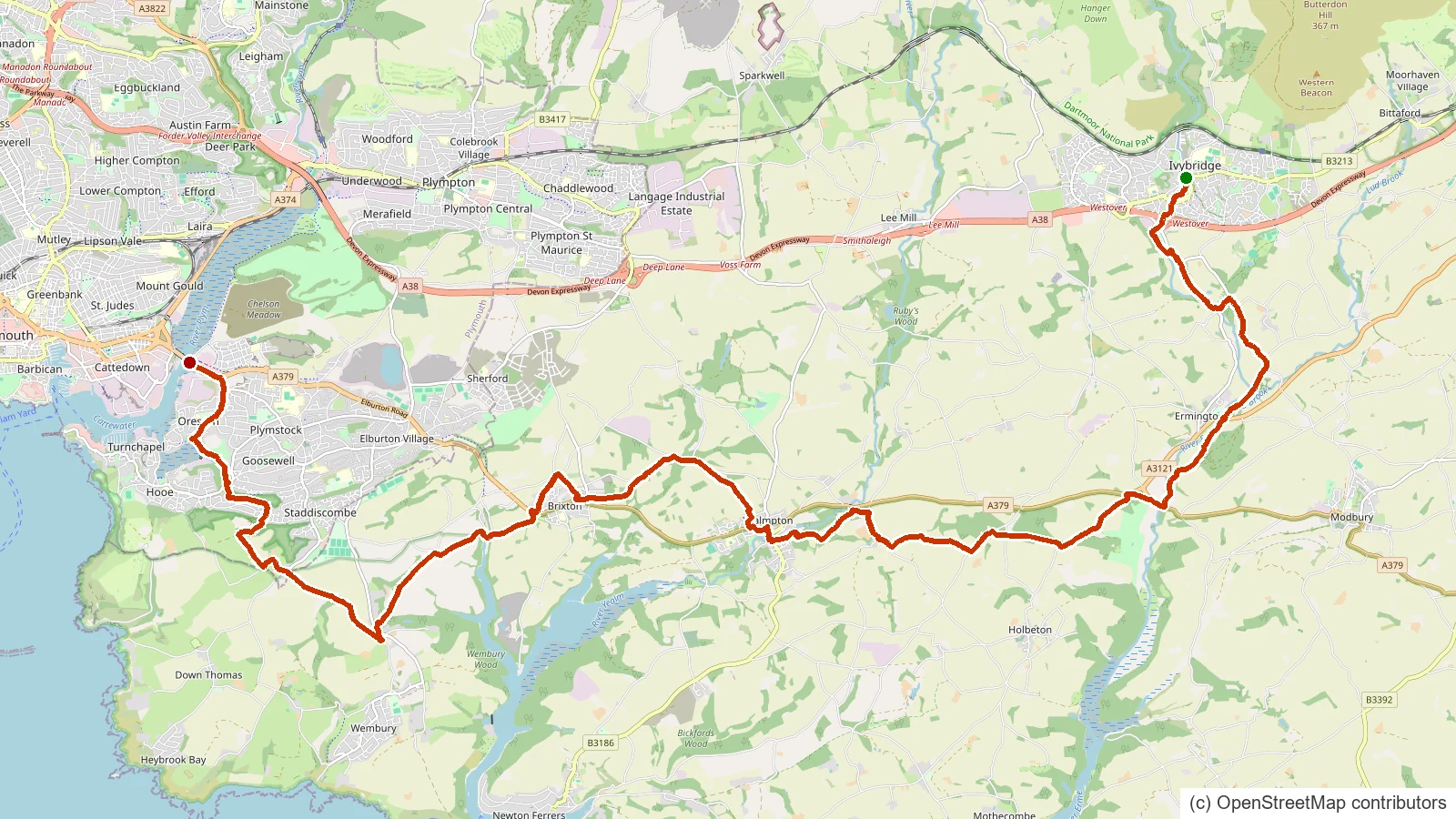
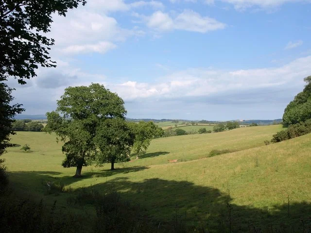
The Erme-Plym Trail threads the two river valleys that give it its name, connecting the south Devon coast with Ivybridge on the edge of Dartmoor. It is a manageable trail through estuary, woodland and valley scenery, and joins onto the Two Moors Way for walkers heading further onto the moor.
Route data © OpenStreetMap contributors (ODbL); mapped from OSM relation 2378090.
Suggest an edit to this listing
- About 27.4 km
- Starts near Ivybridge, Devon
- A GPS track to follow (it may not include turn-by-turn waypoints)
Take this route with you
Download the GPX file, then open it in your favourite walking app or website:
Route data © OpenStreetMap contributors (ODbL). Rendered by Our Dartmoor.
Thoughts
Be the first to share a thought about Erme-Plym Trail.
Share a thoughtKnow another Dartmoor place, tor or landmark we should include? Suggest a listing, it is free.
Suggest a listing