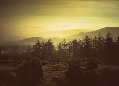
Photo © Vieve Forward, CC BY-SA 2.0, via Wikimedia Commons
Hexworthy
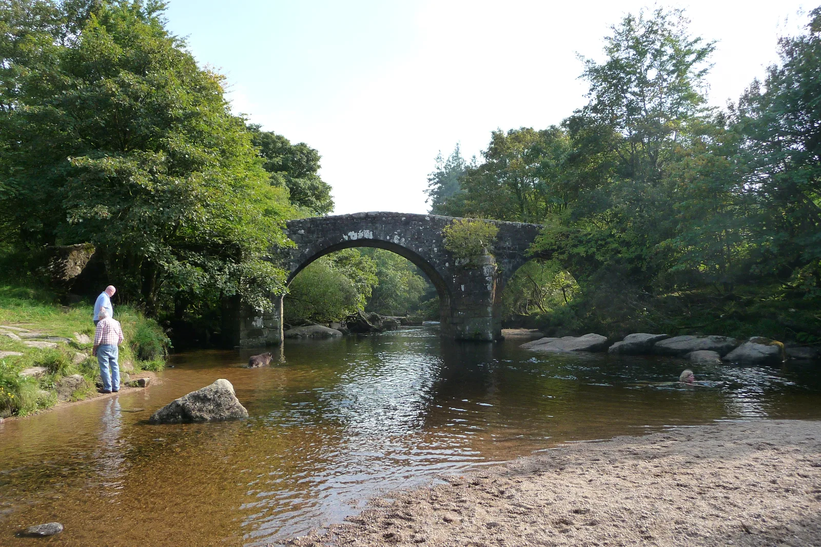
Hexworthy is a hamlet on the West Dart river, about a mile upstream from Dartmeet. It was historically part of Lydford parish and since 1987 has been in the civil parish of Dartmoor Forest. The bridge over the river, which carries the name Hexworthy or Huccaby Bridge, has three segmental arches and was built in the late 18th century.
Across the river is Huccaby. Its farmstead goes back to at least the late 13th century, and the name is thought to mean a crooked bend, which fits the loop of the West Dart. St Raphael's was put up in 1868 by the Rev. H. Fuller as a mission chapel on the ruins of old cottages, and was also used as a school. Robert Burnard, the Dartmoor antiquarian and photographer, lived at Huccaby House from 1904.
The Forest Inn is the village pub. Wikipedia says it opened in the 1850s, while the pub's own account gives 1654 and a farmhouse origin, so the date is unsettled. Tin working in the valley of the O Brook is first recorded in 1240, and the Henroost or Hexworthy Mine did not close until 1919. Gobbet Mine worked for about 40 years in the mid 1800s.
Hexworthy on the map
In Hexworthy
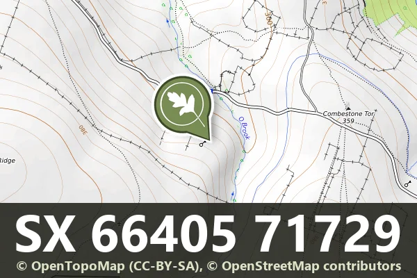
Hut circle settlement W of Combestone Tor
Hexworthy, Ashburton
Bronze Age dwelling circles scattered across open moorland, their stone foundations still visible after thousands of years.
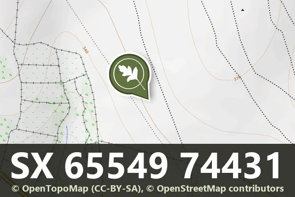
Outer Huccaby Ring
Hexworthy, Ashburton
A Bronze Age hillfort on open moorland, its concentric rings still visible after thousands of years of wind and weather.
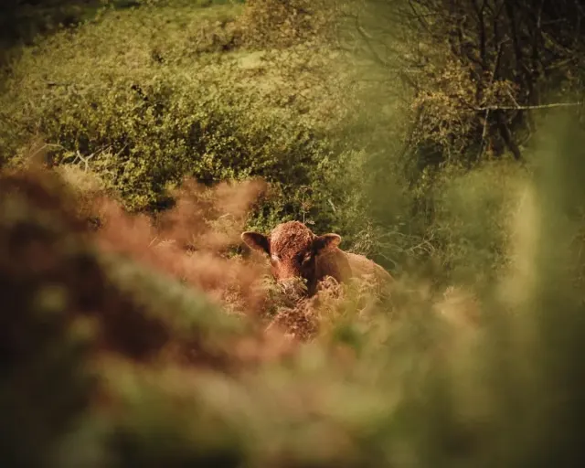
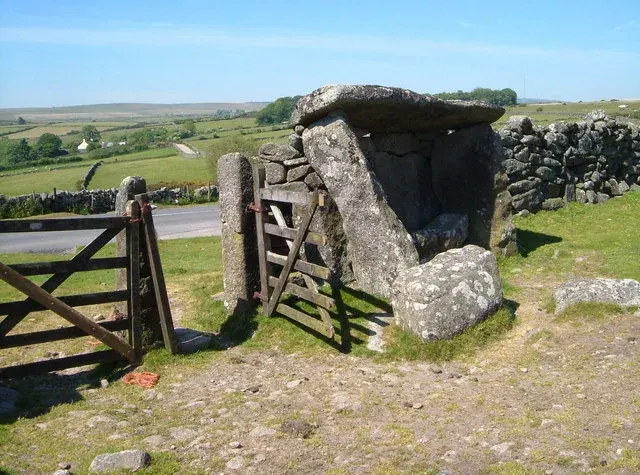
The Judge's Chair
Hexworthy, Ashburton
A Bronze Age rock outcrop on Dartmoor's open moorland, shaped by ancient hands into a ceremonial or gathering place.