

← Browse Tors & Landmarks · Browse the directory
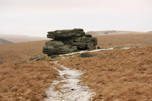
Hangershell Rock
Bittaford, Devon
Grid ref: SX 6549 5935 Find this on the Map Reference Finder
On walking routes: Two Moors Way
Main image: Hangershell Rock - 20 metres from location - image by Guy Wareham (CC BY-SA 2.0), via Wikimedia Commons
The name has evolved over time, with early records showing it as 'Hanger's Shiel' in the 1500s, and later as 'Hangershill' in the 1800s.
Contact us if you have information about this listing
Official record
Explore the area
Go deeper with Dartefacts
Dartefacts is a database of Dartmoor sites with far more close-up detail than we can show here, and it is the best place to go deeper. Dartefacts is free to use, and nobody has to pay to look things up. If you want more, a yearly subscription adds 10-figure grid references, map zoom down to 1:25,000 and lists to tick off the places you have visited, and it helps keep the site going. We would encourage you to subscribe.
Thoughts
Be the first to share a thought about Hangershell Rock.
Share a thought Photograph by Glavind Strachan Photography
“The place is deprived of every thing that is pleasant or agreeable, and is productive of nothing but human woe and misery. Even riches, pleasant friends and liberty could not make it agreeable.”
Also on Our DartmoorWatern Oke hut circle settlement — One of the largest unenclosed hut circle settlements on Dartmoor: dozens of stone huts on a south-facing slope above the River Tavy, dug by the Dartmoor Exploration Committee in 1905.
Know another Dartmoor place, tor or landmark we should include? Suggest a listing, it is free.
Suggest a listing