Dartmoor quiz
Which Dartmoor place has also been known as "the Plymouth Leat"?


← Browse Prehistoric Settlements · Browse the directory
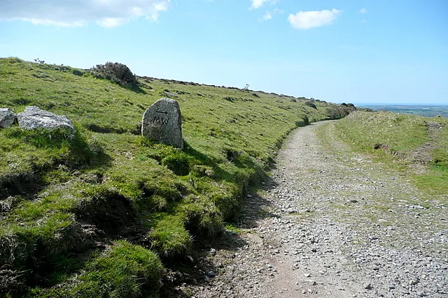
Grid ref: SX 6510 5826 Find this on the Map Reference Finder
On walking routes: Two Moors Way
Main image: Two Moors Way to Ivybridge - 36 metres from location - image by Graham Horn (CC BY-SA 2.0), via Wikimedia Commons
Contact us if you have information about this listing
Dartefacts is a database of Dartmoor sites with far more close-up detail than we can show here, and it is the best place to go deeper. Dartefacts is free to use, and nobody has to pay to look things up. If you want more, a yearly subscription adds 10-figure grid references, map zoom down to 1:25,000 and lists to tick off the places you have visited, and it helps keep the site going. We would encourage you to subscribe.
Be the first to share a thought about Enclosure.
Share a thought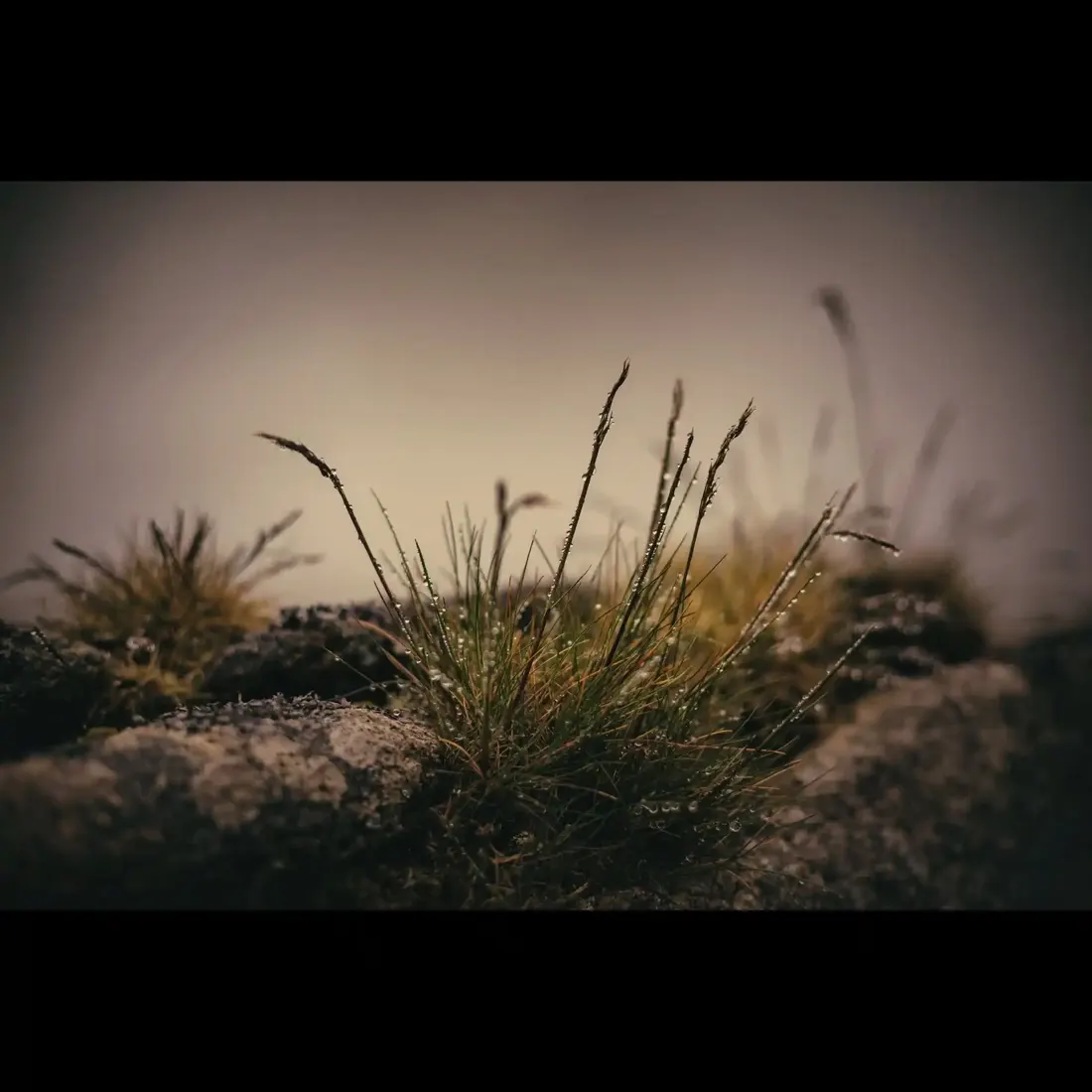 Photograph by Glavind Strachan Photography
“The rain stopped suddenly, and the wind was hushed, except in the tops of invisible trees; and a streak of black boggy fog settled heavily.”
Also on Our DartmoorThe Tolmen Stone — A mysterious stone with a natural hole, believed to hold ancient spiritual significance on the open Dartmoor plateau.
Which Dartmoor place has also been known as "the Plymouth Leat"?
Know another Dartmoor place, tor or landmark we should include? Suggest a listing, it is free.
Suggest a listing