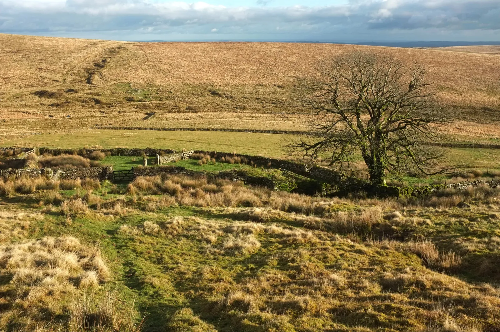
Main image: Photo: Derek Harper (CC BY-SA 2.0) via Wikimedia Commons. The ruined Huntingdon Warren Farm area: field walls and enclosure banks on open moor with a lone bare tree, rolling moorland behind.
On the afternoon of Saturday 13 October 1945, a few months after the war in Europe ended, an American Douglas C-47 Skytrain flew into the hillside at Huntingdon Warren Farm in mist. All seven aboard died. The wreckage was found the next day.
Aircraft: Douglas C-47A Skytrain (Dakota), serial 42-100640
Unit: US 9th Air Force, 484th Air Service Group Command
Date: Saturday 13 October 1945, about 16:10
Crew: Lt Richard Mara (pilot), 2nd Lt Francis McCutchin (co-pilot), T/Sgt Melvin Kack (flight engineer)
Passengers: Lt Col Clifford Rassmussen, Pvt Victor Whiting, Pfc Ralph Flower, Pfc Dominick Klapps
Aboard: seven, all killed
Crash site: SX 66600 67100
Memorial cross: SX 66416 66794 (one source)
What happened
It was a ferry flight from Germany, carrying mail and personnel and equipment being sent to the United States by way of Britain, bound for RAF Exeter. Exeter could not take the aircraft in the weather and it was told to divert to Weston Zoyland in Somerset. It was given a course of 235 degrees when it should have been about 55, and no one aboard questioned it. It flew into thick mist, hit the hillside and ended partly against a field wall. One source says that afterwards all 484th Air Service Group flights were told to double-check information from ground stations. Dartmoor Explorations gives the causes as poor weather, thick mist and human error by flight control at Exeter. No one saw the crash, though some local people reported hearing a low-flying aircraft. Dartmoor Explorations says it took off from Erding, near Munich, just after midday on the Saturday; another source gives Villacoublay in France.
What you can see
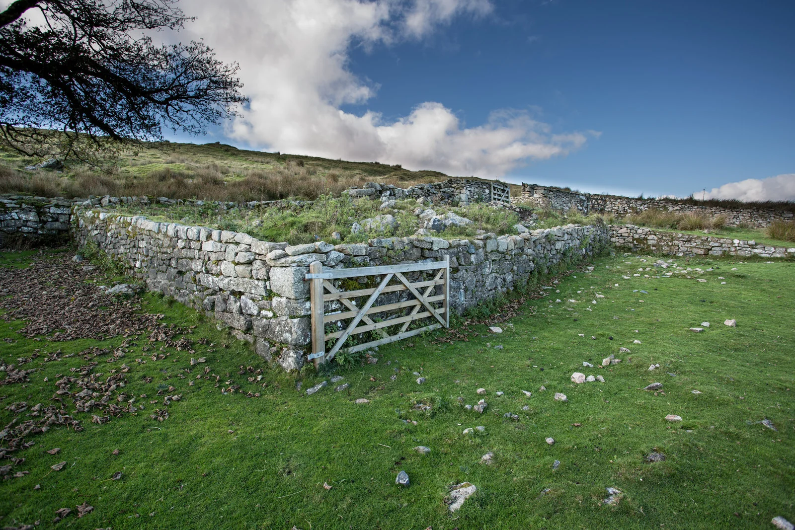
No wreckage is visible. About 20 m of drystone wall was knocked down and never rebuilt (one source). The farm beside it is a ruin: the house was burned in 1956 and blown up in 1961. The farm's last squatter, known as MooRoaMan, used pieces of the aircraft to decorate his living room, according to the Devon HER. One source, citing Graham Lewis, says bundles of banknotes believed to be counterfeit were found in the wreck.
Memorial
A small metal cross, made at school by Brett Sutherland and put up with his father's help in 1985 as a tribute to those who died, is fixed to a large boulder south-west of the farm.
The warren and the farm
Huntingdon Warren covers more than 700 acres west of Buckfastleigh, bounded by the River Avon on the west and south and the Western Wella Brook on the east, with about 116 pillow mounds. Huntingdon Hill carries a cairn called the Heap of Sinners. The warren is first mentioned in the 15th century, and Thomas Michelmore took a Duchy lease in 1806. Frederick William Symes, a retired schoolmaster whom Eric Hemery called an individualist and a hermit by nature, lived in the farmhouse unofficially from 1942 as the MooRoaMan; he moved to Buckfastleigh in 1956 and died in 1961. Naval cadets burned the house in August 1956. A clapper bridge of five granite slabs crosses the Western Wella Brook nearby.
Access
Open moor.
All military aircraft crash sites in the UK are protected by the Protection of Military Remains Act 1986. It is an offence to dig, move or take anything from one without a licence from the Ministry of Defence, and many are war graves. Look, photograph, leave everything where it is.
The 1 rings on this map are the separate scheduled monuments that make up this listing, placed from Historic England’s records. Tap a ring for its grid reference and a link to its official entry. The pin marks the middle of the group.
Dartefacts is a database of Dartmoor sites with far more close-up detail than we can show here, and it is the best place to go deeper. Dartefacts is free to use, and nobody has to pay to look things up. If you want more, a yearly subscription adds 10-figure grid references, map zoom down to 1:25,000 and lists to tick off the places you have visited, and it helps keep the site going. We would encourage you to subscribe.
Our Dartmoor doesn't track you and runs no adverts. We use one cookie to make the
site work, and some pages load videos, maps or optional social media panels from other sites, the panels only if you choose to show them.