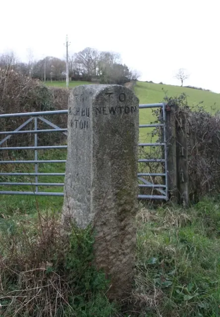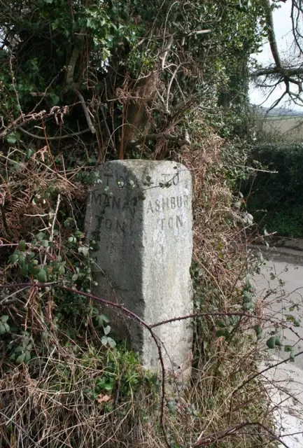
Direction Post
Trumpeter, Bovey Tracey
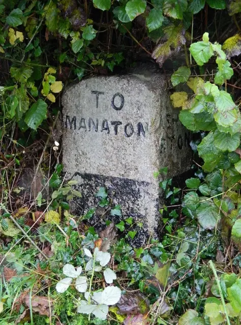
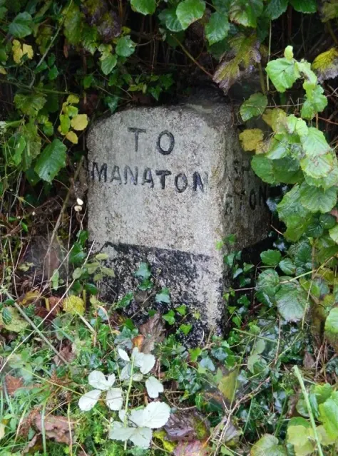
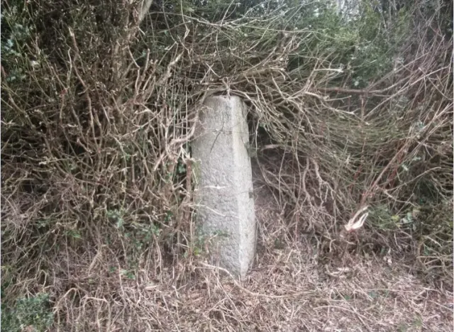
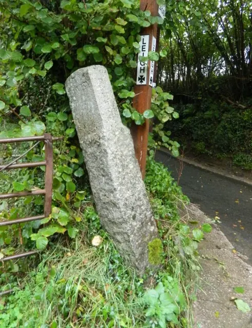
A stone direction post marking the junction of the lane from Ilsington Methodist Church and the route to Lewthorn Crossroads.
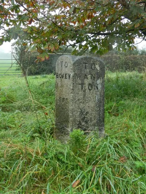
Dartmoor's archaeology and heritage - antiquities, historic buildings and museums.
Trumpeter, Bovey Tracey
A stone direction post marking the junction of the lane from Ilsington Methodist Church and the route to Lewthorn Crossroads.
A Dartmoor fact about Brentor Church (St Michael de Rupe)
Higher Sigford, Bovey Tracey
A stone direction post at a remote five-way junction on Dartmoor, marking routes across the high moor.
Lower Dunstone, Ashburton
A weathered guidestone marking the south-east corner of Stone Crossroads on the open moor.
Higher Sigford, Bovey Tracey
A historic direction post marking the north-east corner of Sigford Crossroads on Dartmoor.
Higher Brimley, Bovey Tracey
A direction post marking the north east corner of Woodhouse Crossroads on Dartmoor.
Wreyland, Bovey Tracey
A stone direction post at a crossroads on the open moor, guiding travellers across Dartmoor's high ground.
Teign Village, Chudleigh
A direction post at Leigh Crossroads marking routes across the moorland landscape.
Liverton, Bovey Tracey
A direction post marking a fork in the road at Willis's Crossroads, likely dating from the 18th or 19th century.
A Grade II* listed farmhouse, long abandoned, standing on the open moor near Flood with roots in medieval or early modern settlement.