

Skip to content

← Browse Buckfastleigh · Browse Other Heritage Sites · Browse the directory

Other Heritage Sites

D-Day

Buckfastleigh, Devon

Grid ref: SX 7354 6597 Find this on the Map Reference Finder

Part of Buckfastleigh →

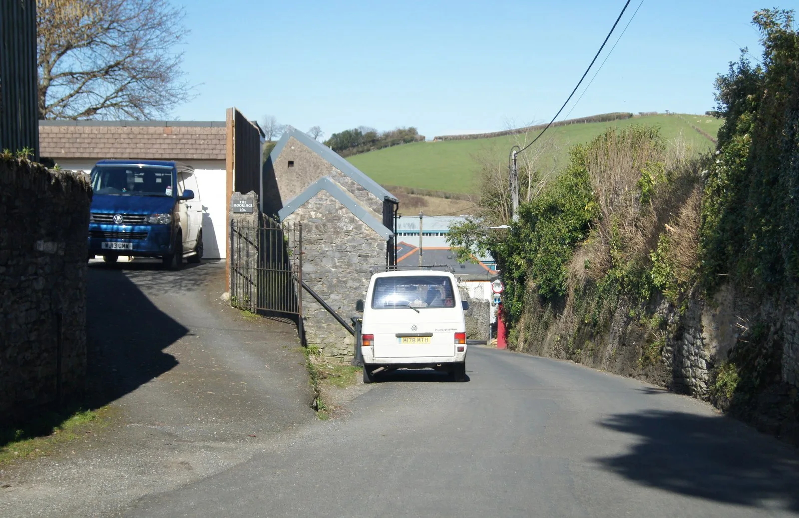
Main image: Heading down Crest Hill - 34 metres from location - image by Fernweh (CC BY-SA 2.0), via Wikimedia Commons

This memorial stands on the exposed Dartmoor plateau where American and British forces conducted intensive amphibious assault training in the lead-up to D-Day.

  • Grid reference: SX 7354 6597 (approximate, from the listing's coordinates)
Share

Suggest an edit to this listing

Contact us if you have information about this listing

Go deeper with Dartefacts

Dartefacts is a database of Dartmoor sites with far more close-up detail than we can show here, and it is the best place to go deeper. Dartefacts is free to use, and nobody has to pay to look things up. If you want more, a yearly subscription adds 10-figure grid references, map zoom down to 1:25,000 and lists to tick off the places you have visited, and it helps keep the site going. We would encourage you to subscribe.

Thoughts

Be the first to share a thought about D-Day.

Share a thought
Dartmoor quiz
“The atmosphere of Dartmoor deserves particular notice ; it is at all times humid. The rain, which frequently falls, almost without intermission, for many weeks together, is generally small; and resembles more a Scotch mist than a shower.”

Who wrote this?

Anna Eliza Bray. From A Description of the Part of Devonshire Bordering on the Tamar and the Tavy, vol. 1 (1836).

Worth a visit

Know another Dartmoor place, tor or landmark we should include? Suggest a listing, it is free.

Suggest a listing